
Description
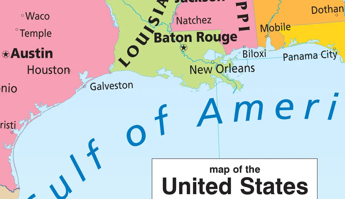
This political U.S. wall map has a distinctive and modern look. Updated for the name change of Gulf of America. This map features richly colored states of the United States of America, neighboring nations, and the major river systems on both, set against pastel blue oceans. This map comes complete with insets of Alaska and central Hawai’i. Borders are shown for the visible portions of the Canadian provinces, as well as provincial, state, and national capitals for Canada, Mexico, The Bahamas, Cuba, Jamaica, and the U.S.A. This is a great reference for an office or classroom.
- Gloss Lamination features premium wet-erase film, which is both useful and decorative.
- 47034G
Explore more from our collection.

![Dos Cabezas, Arizona 7.5' [Map] United Stated Geological Survey 1](https://carpartsvault.shop/wp-content/uploads/2026/05/421-gOAqhA.tmp_.webp)

Reviews
There are no reviews yet.