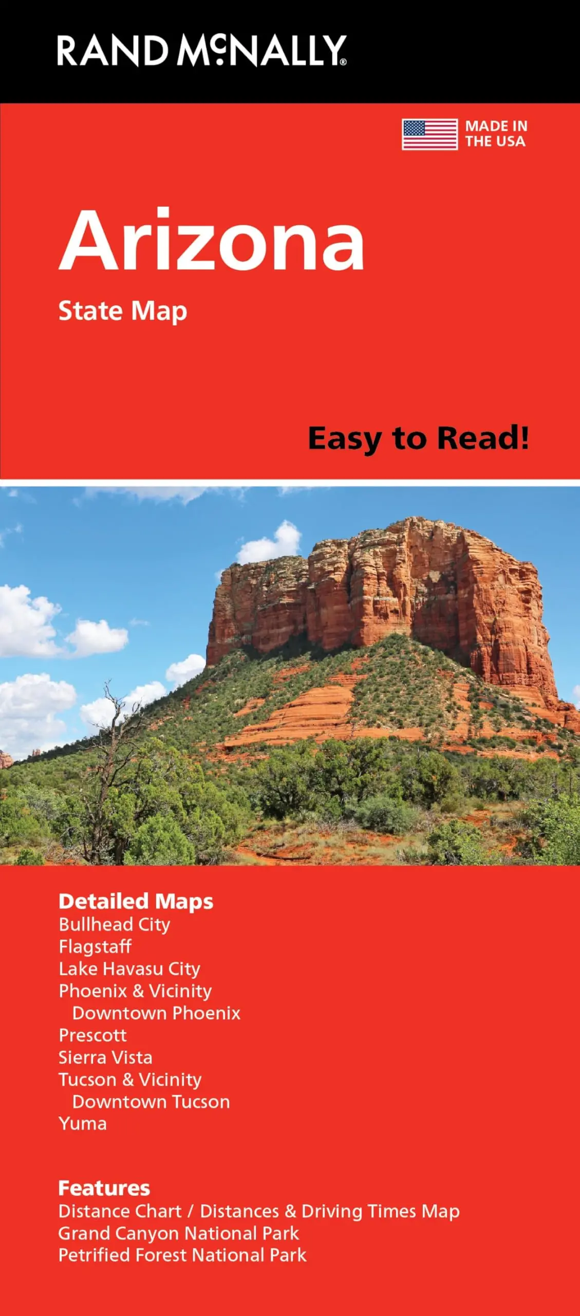
Description
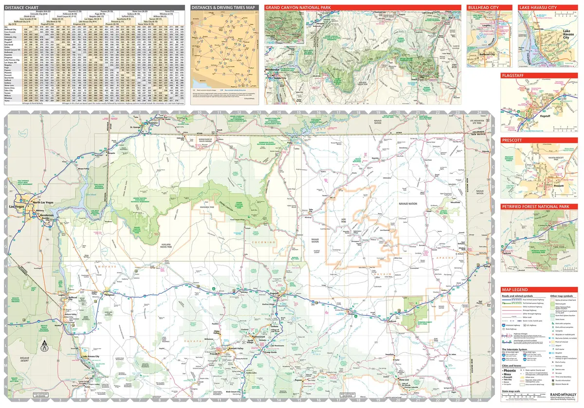
Rand McNally‘s Easy To Read! State Folded Map is a must-have for anyone traveling in and around Arizona, offering unbeatable accuracy and reliability at a great price. Our trusted cartography shows all Interstate, U.S., state, and county highways, along with clearly indicated parks, points of interest, airports, county boundaries, and streets. The easy-to-use legend and detailed index make for quick and easy location of destinations. You’ll see why Rand McNally folded maps have been the trusted standard for years.
- Regularly updated, full-color maps.
- Larger map with a bigger type size than the Rand McNally Folded Map.
- Clearly labeled Interstate, U.S., state, and county highways.
- Indications of parks, points of interest, airports, county boundaries, and more.
- Mileage and driving times map.
- Detailed index.
- Convenient folded size.
- Coverage Area: Detailed maps of Flagstaff, Grand Canyon National Park, Lake Havasu City, Petrified Forest National Park, Phoenix & Vicinity, Phoenix, Downtown Prescott, Tucson & Vicinity, Tucson Downtown, Yuma.
- Product Details: Dimensions (unfolded): 28″ × 40″.
- Two-sided, self-cover, paper folded map.
Explore more from our collection.
![Dos Cabezas, Arizona 7.5' [Map] United Stated Geological Survey 1](https://carpartsvault.shop/wp-content/uploads/2026/05/421-gOAqhA.tmp_.webp)


Reviews
There are no reviews yet.