Description
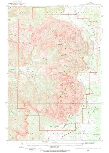
Cedar Breaks National Monument, Iron County, Utah is 213 miles south of Provo and and 20 miles north of Cedar City in the Dixie National Forest.
- Paper, one-sided wall map.
- Scale = 1:15,840
- Projection = Polyconic
- Datum = North American 1927
- Contour Interval = 25′
- Size = 18″×22″
- R. T. Evans @ United States Geological Survey
Explore more from our collection.
![Dos Cabezas, Arizona 7.5' [Map] United Stated Geological Survey 1](https://carpartsvault.shop/wp-content/uploads/2026/05/421-gOAqhA.tmp_.webp)
![Arizona's White Mountains [Map] Russel Mead 1](https://carpartsvault.shop/wp-content/uploads/2026/05/51Yr21jVcsL._SL1000-9RhxEj.tmp_.webp)

Reviews
There are no reviews yet.