Description
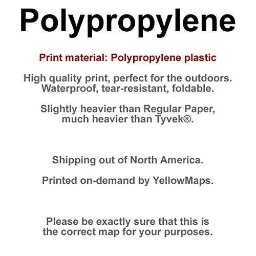
Printed on Polypropylene
- Printed on Polypropylene (plastic)
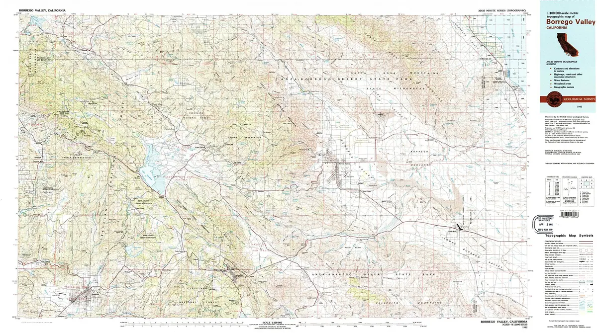
- USGS topographic map of Borrego Valley, CA, at 1:100000 scale. Heavier material. Waterproof. Tear-resistant. Foldable. Perfect for the outdoors.
- Cities, towns, villages: Wynola,La Jolla Amago,San Diego Country Estates,Eagles Nest,Holcomb Village,Hellhole Palms,Oasis,Pauma Valley,Los Tules,San Ignacio,Pine Hills,San Felipe,Santa Ysabel,Ramona,San Pasqual,Branson (historical),Desert Lodge,Desert Shores,Radec,Borrego Springs,Ocotillo Wells,Ranchita,Coolidge Springs,Whispering Pines,Harrison Park,Morettis Junction,Ballena,San Ysidro,Warner Springs,Rosemont,Banner,Scissors Crossing,Palomar Mountain,Mesa Grande,Aguanga
- Islands: Consult topo map preview for visible islands.
- Parks and forests: Palomar Mountain State Park,Los Puertecitos Historical Marker,El Vado Historical Marker,Doane Valley Natural Preserve,San Diego Wild Animal Park,Ramona Community Park,Anza-Borrego Desert State Park,Julian County Park,Oak Grove Stage Station Historical Marker,Boden Field,Collier Park,Inaja Memorial Park,Ocotillo Wells State Vehicular Recreation Area,San Pasqual Battlefield State Historic Park,Hellhole Canyon County Open Space Preserve
Explore more from our collection.


Reviews
There are no reviews yet.