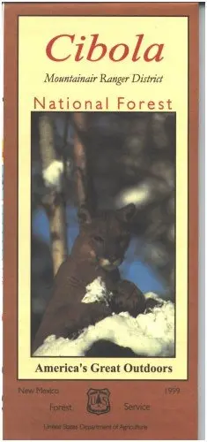
Description
Official Forest Service map @1/2″=1 mile scale (no topographic detail) shows all lands, roads, trails, campgrounds, and other recreation sites in the Mountainair District of the Cibola National Forest, including the Manzano Mountains and Forest areas between Mountainair and Corona. This is a perfect map for hunting the National Forest portions of Hunting Units 14 and 38, scenic driving, hiking, camping, backpacking, and horseback riding both in the forest and in the Manzano Mountain Wilderness. Scenic driving with views of the mountains and in the mountains. Visit Salinas Pueblo Missions National Monument near Mountainair.
- Applies to: New Mexico.
- 40437.
Explore more from our collection.

![Dino's Quiz Map Of The Solar System [Map] Dino Kalogjera And Sanja Kolaj 1](https://carpartsvault.shop/wp-content/uploads/2026/05/61n5FQ5hDBL._SL1000-TSWDOh.tmp_.webp)

Reviews
There are no reviews yet.