Description
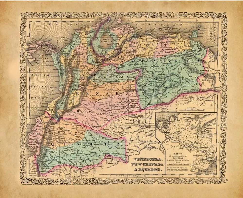
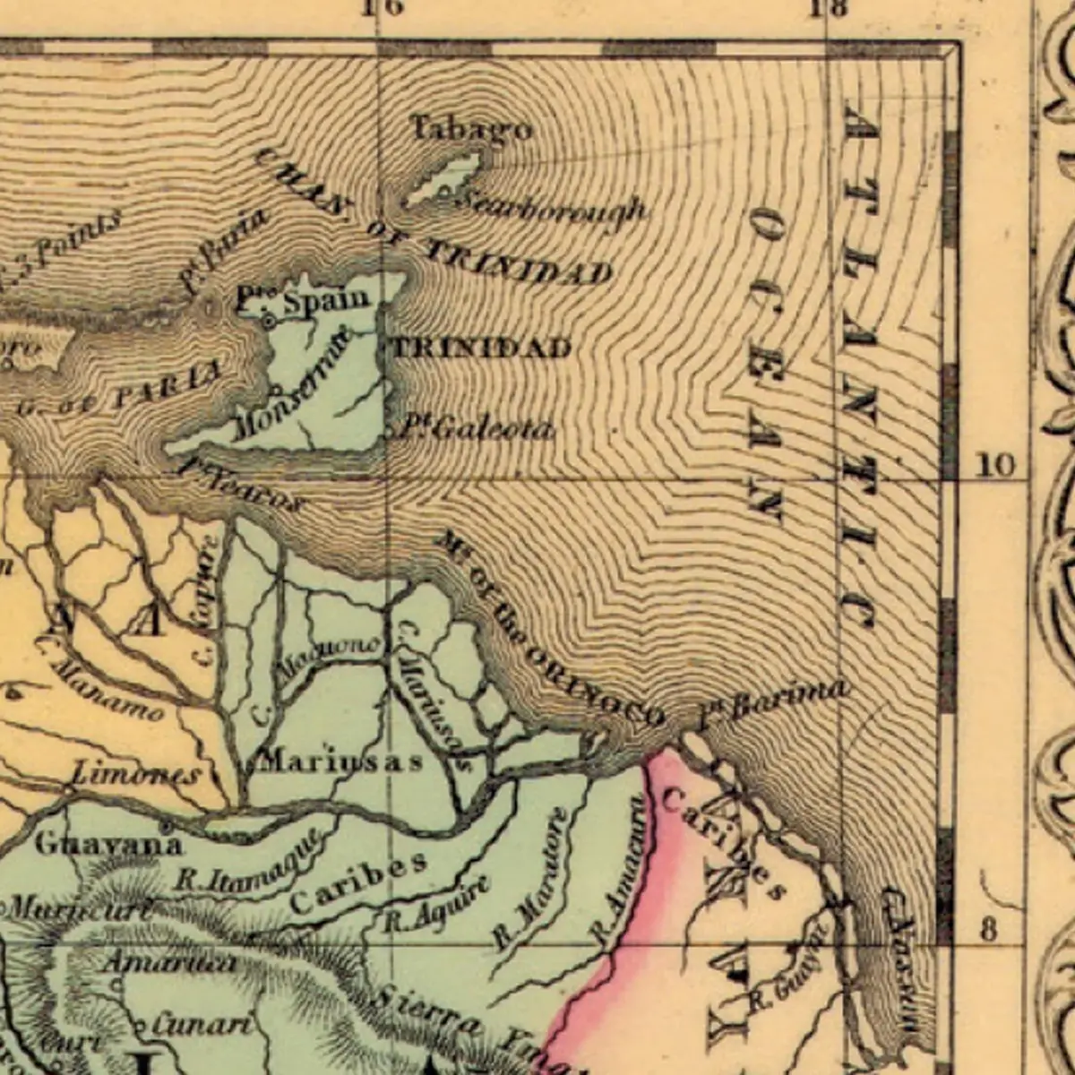
Charles Desilver submitted this political and physical map of northwestern South America in 1856. At an approximate scale of one inch to sixty miles, his map features the states and towns in the nations of Ecuador, New Grenada, and Venezuela, plus the mountains and water features throughout the region. A special inset map, Map of the Communication by Railroad Across the Isthmus of Darien from Aspinwall to Panama, shows the Isthmus of Darien in Panama (State), New Grenada, with its railway, stations, roads, mountains, forest, and water features. This railway connected the Atlantic and Pacific Oceans from Aspinwall in the northwest to Panama (City) in the southeast of the inset map.
- One-sided, 30″×24.5″ HP lightweight paper
Explore more from our collection.


![Arizona's White Mountains [Map] Russel Mead 1](https://carpartsvault.shop/wp-content/uploads/2026/05/51Yr21jVcsL._SL1000-9RhxEj.tmp_.webp)
Reviews
There are no reviews yet.