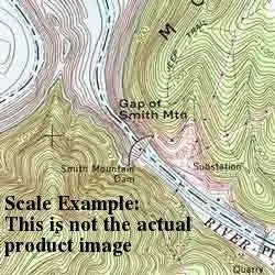
Description
USGS US Topo 7.5-minute topographic quadrangle map for Mormon Flat Dam, AZ:
- Scale: 1:24,000
- Content: Contours; US Topo
- Latitude: 33° 30′ 0″ N to 33° 37′ 30″ N
- Longitude: 111° 30′ 0″ W to 111° 22′ 30″ W
- Media: Paper
- Format: Flat
- Survey Date: 2011
- Height In Inches: 29.000
- Width In Inches: 22.750
- Boundary Type: Quadrangle
- Horizontal Datum: North American 1983 (NAD83)
- Plates: 1
- Pieces: 1
Explore more from our collection.

![Apache Maid Mountain, Arizona 7.5' [Map] United States Geological Survey 1](https://carpartsvault.shop/wp-content/uploads/2026/05/410Z8JECelL._SL1000_dce0475b-5bbc-42d7-84d0-78eeff0231e4-2aslbs.tmp_.webp)
![Douglas Ne 7.5', Arizona [Map] United Stated Geological Survey 1](https://carpartsvault.shop/wp-content/uploads/2026/05/410Z8JECelL._SL1000_960643bf-125f-462b-8727-48bf6bdc1077-1K0TR9.tmp_.webp)
Reviews
There are no reviews yet.