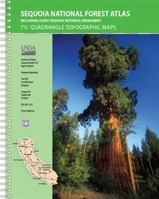
Description
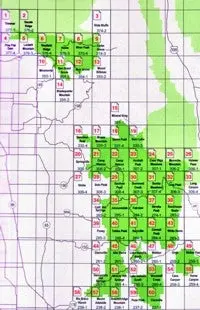
USDA NFS Pacific Southwest Region Sequoia National Forest Atlas (Including Giant Sequoia National Monument) features 7-1/2-minute-by7-1/2-minute quadrangle topographic maps on 60 map sheets covering the entire Sequoia National Forest and Sequoia National Monument at 1:63,360-scale (1 inch to the mile). Maps include roads and trails, camping and recreation facilities, wilderness areas, UTM and latitude/longitude coordinates, contours and elevations, and shaded relief.
National Forest Atlases are full color atlases, containing 8.5 × 11 inch topographic quadrangle maps at 1 inch to the mile scale and are available for many of the forests in Califorina.
- Year – 2019
- 7-1/2 Minute Quadrangle Topographic Maps
- Scale – 1″ to the Mile
- Topo Lines – Yes
- Spiralbound
- 62 plastic pages
Explore more from our collection.

![Arizona's White Mountains [Map] Russel Mead 1](https://carpartsvault.shop/wp-content/uploads/2026/05/51Yr21jVcsL._SL1000-9RhxEj.tmp_.webp)

Reviews
There are no reviews yet.