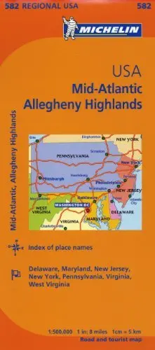
Description
Mid-Atlantic, Allegheny Highlands covers the states of Pennsylvania, New Jersey, Maryland, and Delaware, plus Washington, the District of Columbia. Portions of New York, Connecticut, West Virginia, and Virginia complete the map of the region.
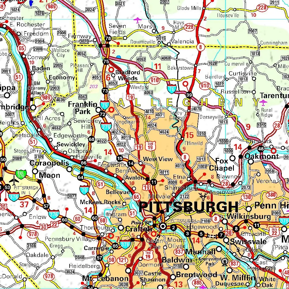
Michelin Regional maps each contain practical road and route information. Special Michelin reads-like-a-book format for easy use in folding and unfolding. Useful information for planning trips, including gas stations, 24-hour service stations, toll gates, rest areas and service plazas. Clear, precise cartography. Icons pinpoint important travel information.
- Paper, self-cover, one-sided folding map.
- Scale = 1:500,000
- Size:
* Folded = 4-3/8″ × 9-3/4″
* Unfolded = 51-3/4″ × 39-1/4″
Explore more from our collection.
![Mexico Mapa De Carreteras [Paperback] Varios 1](https://carpartsvault.shop/wp-content/uploads/2026/05/51tf9UzB5fL._SL1000-92Yl7n.tmp_.webp)
![Baja Peninsula Infared From Space Satellite Map Gloss Laminated [Map] Spaceshots Inc. 1](https://carpartsvault.shop/wp-content/uploads/2026/05/41DKYrRbd2L._SL1000_804c6dca-6d63-4e78-ba5f-aedfab787fff-h4Bc68.tmp_.webp)

Reviews
There are no reviews yet.