Description
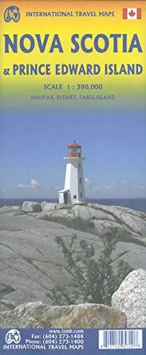
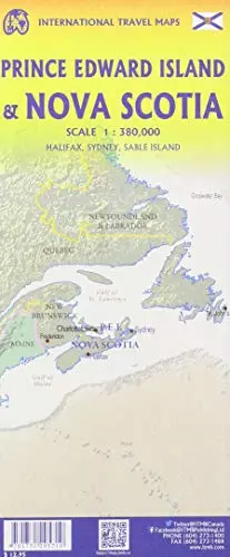
The historic Canadian province of Nova Scotia (New Scotland) was founded by the French as part of Acadia (now centered in New Brunswik). The fortress of Louisburg, on Cape Breton, was seized by the British, who founded Halifax in 1749. The colony grew rapidly, thanks to the American Revolution, and its many Loyalist settlements are today attractive tourist destinations. The self-governing colony attended the 1775 Philadelphia Convention, but left in disgust over the radicalism expressed by the slave-owning colonies, preferring to remain loyal. As a result of fears that it would be invaded following the American Civil War. NS entered into discussions with other British American colonies, culminating in the founding of Canada as an independent country in 1867. Prince Edward Island followed a similar course, joining Canada in 1873. This double-sided map portrays both provinces in excellent detail, noting all major attractions, towns, parks, roads, and ferries. Inset maps of Halifax/Dartmouth and Sydney are included. ITMB also publishes a separate map of PEI showing greater detail. PEI is joined to the mainland by the exceptionally long Confederation Bridge and is a lovely, pastoral, province, home to Anne of Green Gables.
- Map size: 27×39″
- Model: 9781771295710
- Shipping Weight: 0.08kgs
- Manufactured by: ITMB Publishing Ltd.
- 4th Edition, 2020
- Two-sided, self-cover, paper/non-laminated folded map
Explore more from our collection.

![Arizona's White Mountains [Map] Russel Mead 1](https://carpartsvault.shop/wp-content/uploads/2026/05/51Yr21jVcsL._SL1000-9RhxEj.tmp_.webp)

Reviews
There are no reviews yet.