Description
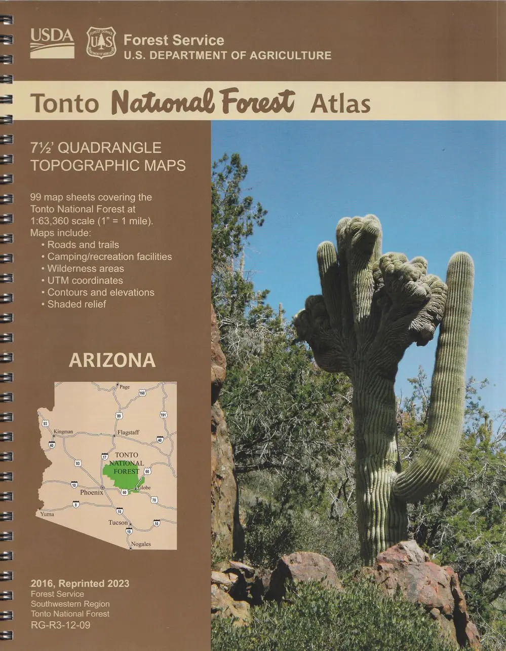
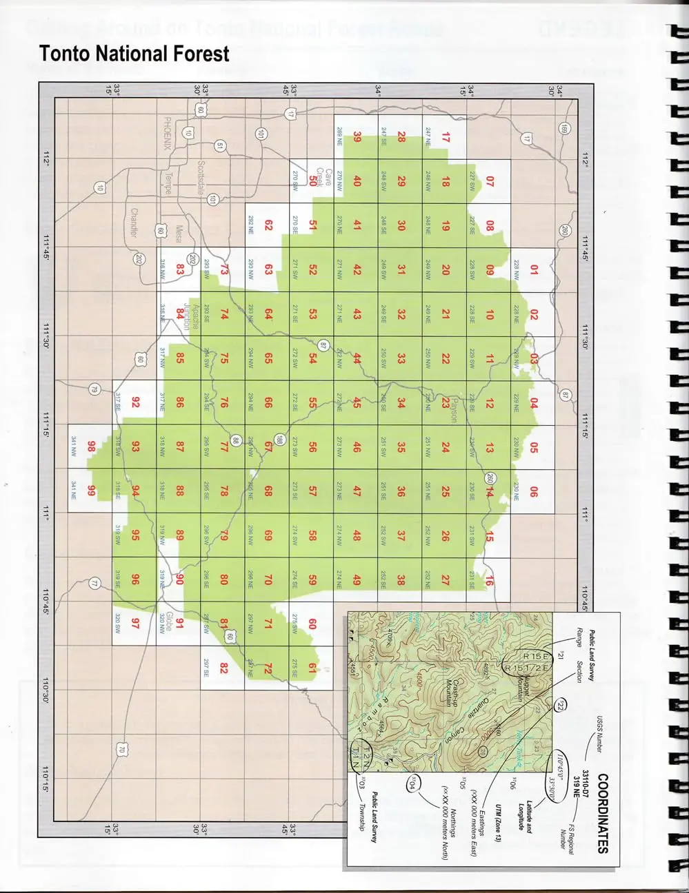
National Forest Atlases are full-color atlases, containing 8.5×11-inch topographic quadrangle maps at 1-inch to the mile scale. The Tonto National Forest lies in central Arizona and consists of 99 quadrangles covering 6 ranger districts: Cave Creek, Globe, Mesa, Payson, Pleasant Valley, and Tonto Basin. Tonto National Forest encompasses almost 3 million acres of rugged country, ranging from saguaro cactus-studded desert to pine-forested mountains beneath the Mogollon Rim connected by a series of scenic drives. This unique variety in vegetation and range in altitude (from 1,300 to 7,900 feet) offers outstanding recreational opportunities throughout the year.
- Scale – 1-Inch to the Mile
- Topo Lines – Yes
- Contour Interval – 100-Feet
- Spiralbound
- 104 pages
- Reprinted 2023
- Geospatial Services
Explore more from our collection.
![Dome Rock Mts Sw, Arizona 7.5' [Map] United Stated Geological Survey 1](https://carpartsvault.shop/wp-content/uploads/2026/05/419-VJ68DR.tmp_.webp)


Reviews
There are no reviews yet.