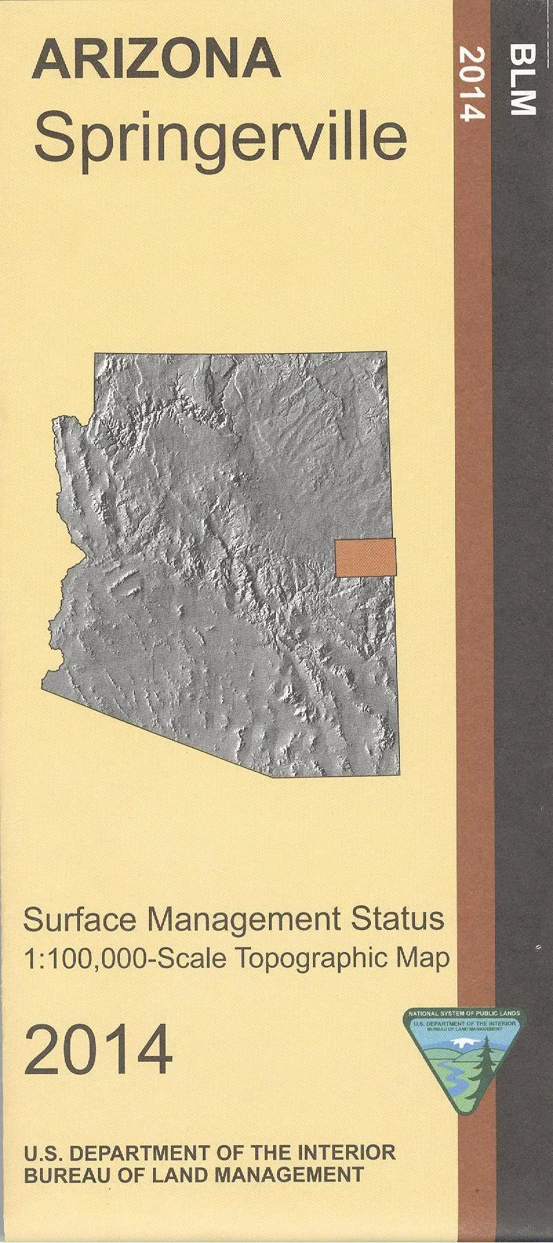
Description
BLM map shows roads, campgrounds, national forest lands, and topographic detail. Recreation in Apache Sitgreaves National Forest includes camping, hiking, horseback riding, fishing, OHV use, and scenic driving on Coronado Trail Scenic Byway. This map differentiates between public and private land, and also among the various agencies who manage the public lands. It is useful for AZ Hunting Units 1, 2B, 2C, and 3B.
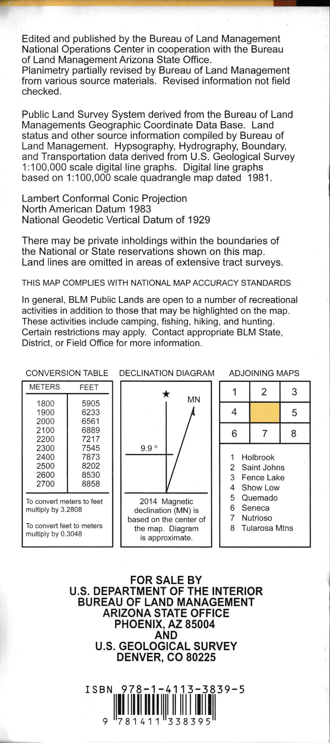
- Scale 1:100,000.
- 2014-11-09
- AZ148S
- One-sided, self-cover, paper/non-laminated folded map
Explore more from our collection.


Reviews
There are no reviews yet.