Description
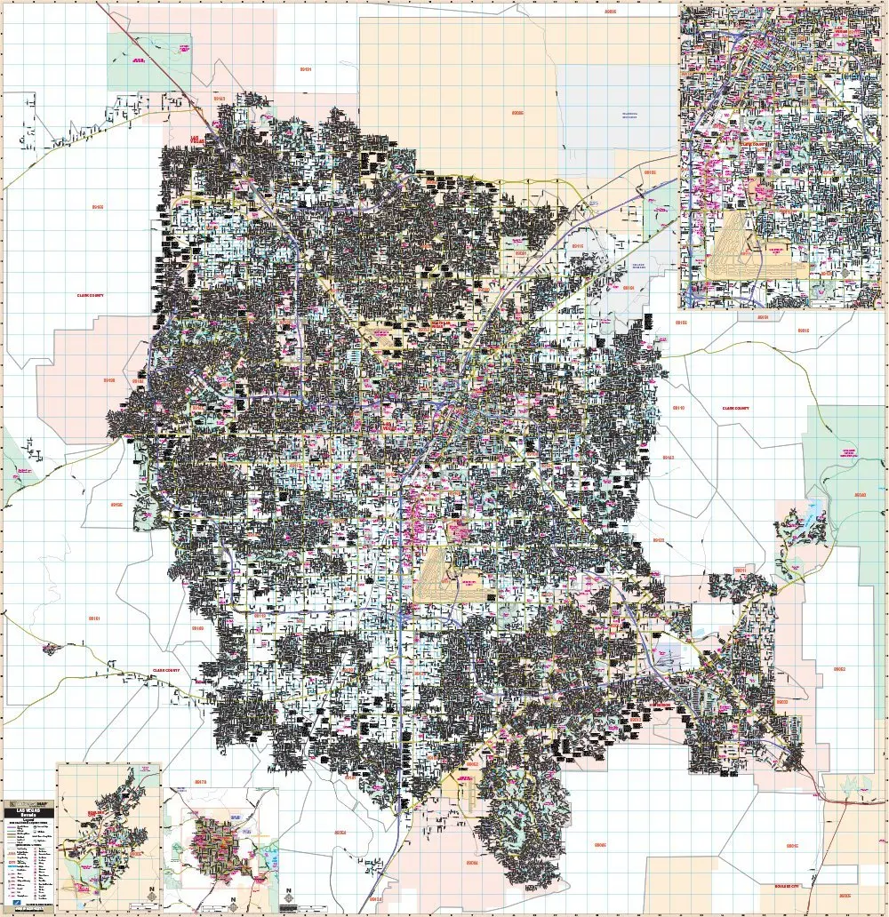
Our Las Vegas, NV Wall Map, with adjacent areas, measures 78″ x 80.5″ (6’6″ W x 6’8.5″ H) and features up-to-date cartography, with new streets and changes in complete street detail at a scale of 1:32600 or 1″=2716′ or 1=.51 mi; is printed in color, with a markable and washable laminated surface; and offers a street index in a separate book-format.
The area of coverage includes the following boundaries:
– North to North Las Vegas, Sunrise Manor, Nellis Air Force Base, Las Vegas Motor Speedway, Floyd Lamb State Park, and Las Vegas Palate Golf Course
– South to Henderson
– East to Henderson and Lake Mead National Recreation Area
– West to Red Rock Canyon National Conservation Area
The Las Vegas, NV Wall Map also includes insets of Boulder City and The Strip.
Details and features include:
– AIRPORTS
– CEMETERIES
– CITY LIMITS
– EDUCATIONAL INSTITUTIONS
– GOLF & COUNTRY CLUBS
– GOVERNMENT BUILDINGS
– HOSPITALS
– HOTELS & CASINOS
– POINTS OF INTEREST
– POLICE STATIONS
– POST OFFICES
– RAILROADS
– RECREATIONAL PARKS
– SECTION, TOWNSHIP & RANGE LINES
– SHOPPING CENTERS
– STREETS & HIGHWAYS
– WATER FEATURES
– ZIP CODE BOUNDARIES
Framing rails are included, top and bottom, for easy wall mounting.
Dimensions: Width 78, Height 80.5
Explore more from our collection.


Reviews
There are no reviews yet.