Description
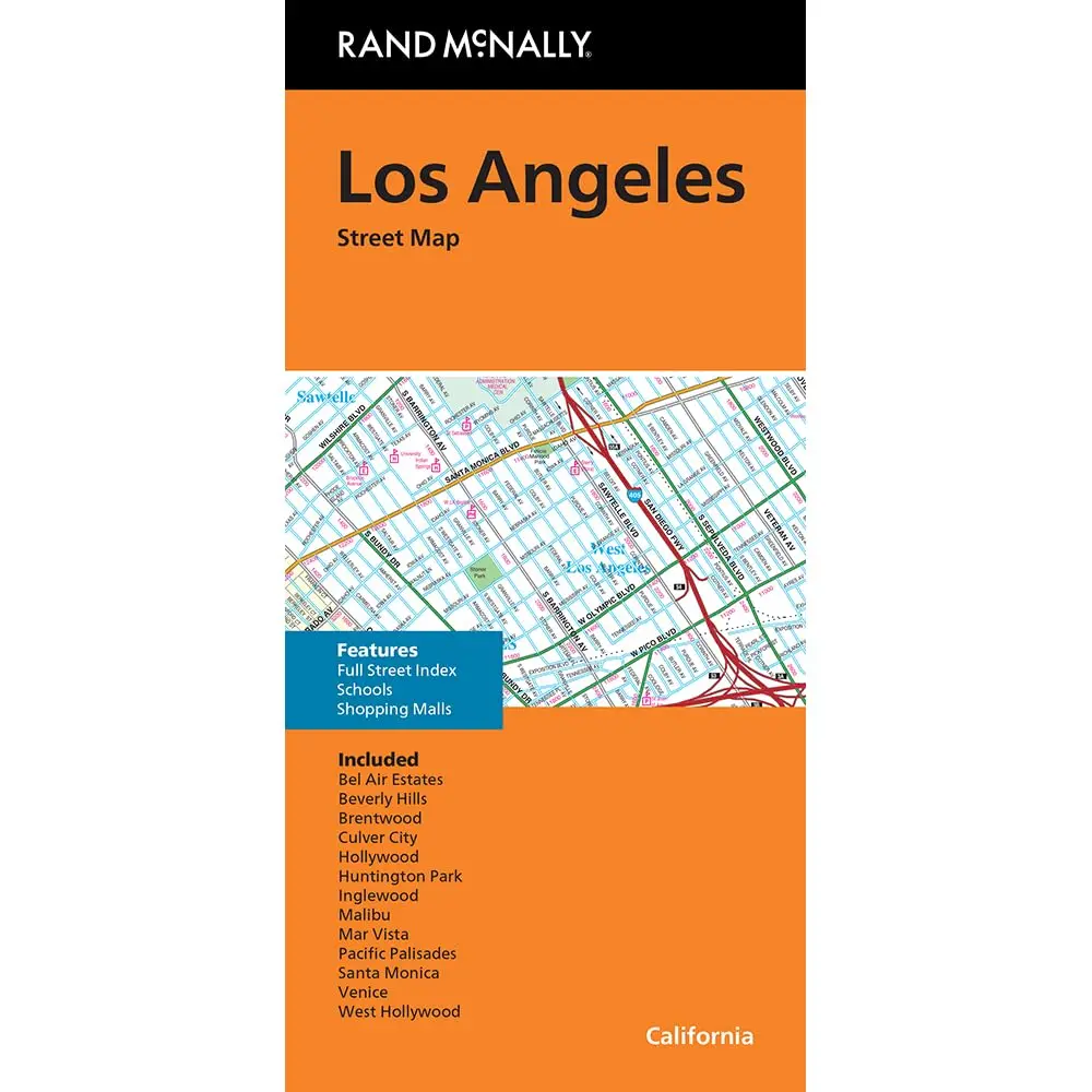
Rand McNally Folded Map: Los Angeles Street Map
- Regularly updated, full-color maps
- Clearly labeled Interstate, U.S., state, and county highways
- Indications of parks, points of interest, airports, county boundaries, schools, shopping malls, downtown & vicinity maps
- Easy-to-use legend
- Detailed index & full street index
Explore more from our collection.


Reviews
There are no reviews yet.