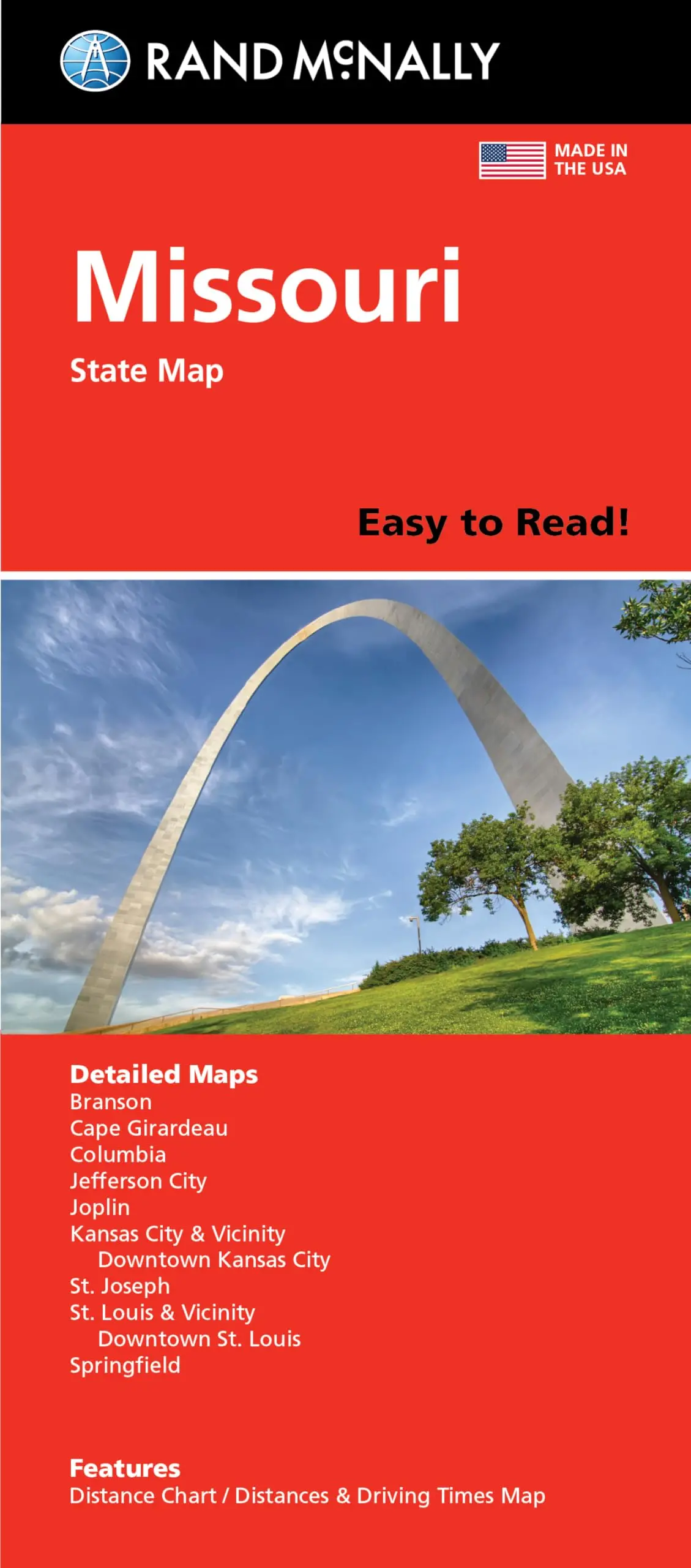
Description
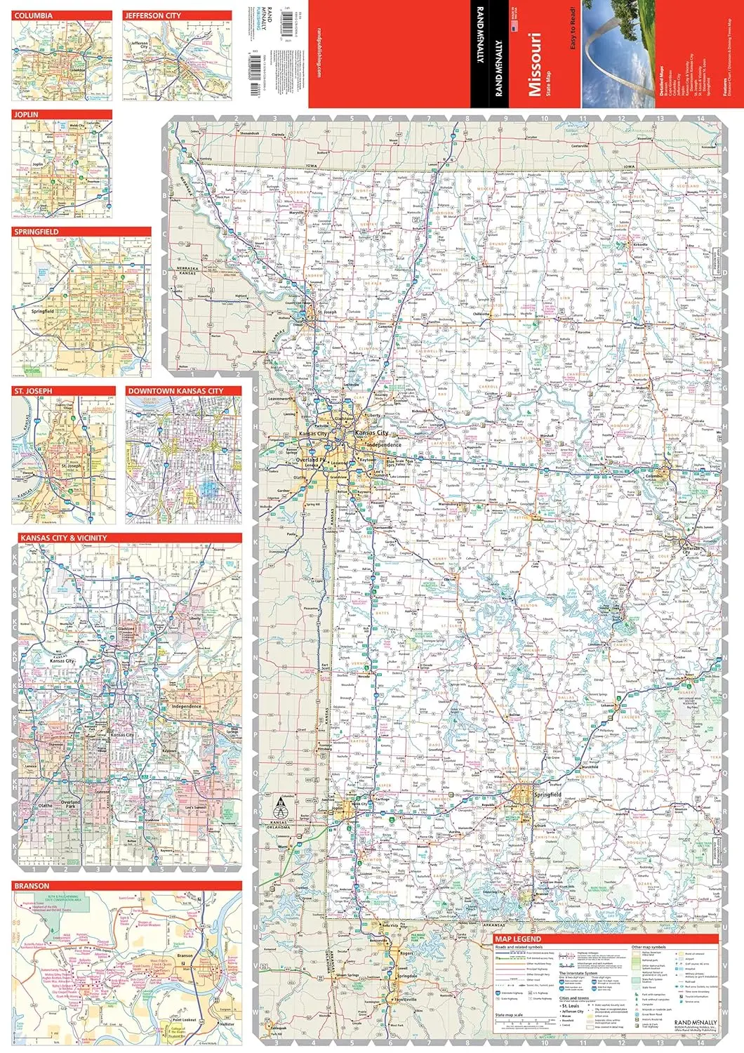
Rand McNally‘s Easy To Read State Folded Map is a must-have for anyone traveling in and around Missouri, offering unbeatable accuracy and reliability at a great price. Our trusted cartography shows all Interstate, U.S., state, and county highways, along with clearly indicated parks, points of interest, airports, county boundaries, and streets. The easy-to-use legend and detailed index make for quick and easy location of destinations. You’ll see why Rand McNally folded maps have been the trusted standard for years.
- Regularly updated, full-color maps.
- 44% larger map with a bigger type size than the Rand McNally Folded Map.
- Clearly labeled Interstate, U.S., state, and county highways.
- Indications of parks, points of interest, airports, county boundaries, and more.
- Mileage and driving times map.
- Detailed index.
- Convenient folded size.
- Coverage Area: Detailed maps of Branson, Cape Girardeau, Columbia, Jefferson City, Joplin, Kansas City & Vicinity, Downtown Kansas City, Poplar Bluff, St. Joseph, St. Louis & Vicinity, Downtown St. Louis, and Springfield.
- Product Details: Dimensions (unfolded) 28″ × 40″.
- March 2024.
Explore more from our collection.
![Mexico Mapa De Carreteras [Paperback] Varios 1](https://carpartsvault.shop/wp-content/uploads/2026/05/51tf9UzB5fL._SL1000-92Yl7n.tmp_.webp)
![Baja Peninsula Infared From Space Satellite Map Gloss Laminated [Map] Spaceshots Inc. 1](https://carpartsvault.shop/wp-content/uploads/2026/05/41DKYrRbd2L._SL1000_804c6dca-6d63-4e78-ba5f-aedfab787fff-h4Bc68.tmp_.webp)

Reviews
There are no reviews yet.