
Description
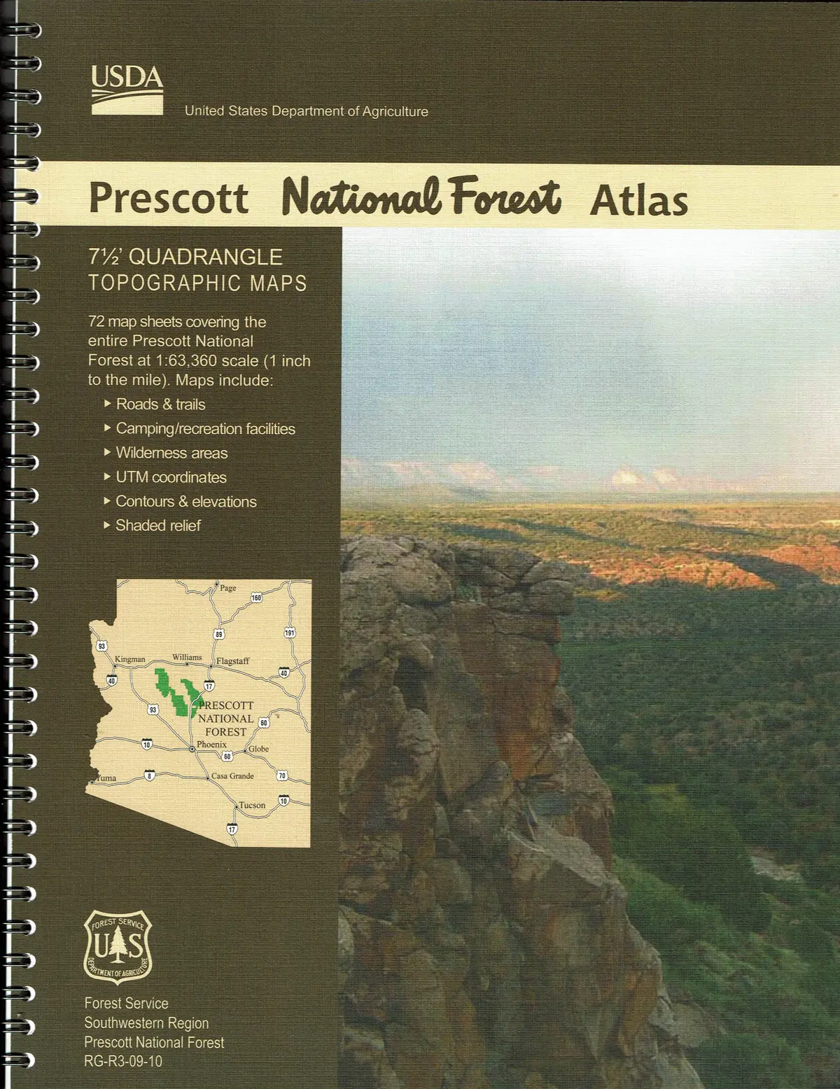
National Forest Atlases are full color atlases, containing 8.5×11-inch topographic quadrangle maps at 1-inch to the mile scale. The Prescott National Forest lies in a mountainous section of central Arizona between forested plateaus to the north and arid desert to the south. Its 1.2 million acres range from 3,000 to 8,000 feet.
- Scale – 1″ to the Mile
- Topo Lines – Yes
- Spiral-bound – 20 April 2020
Explore more from our collection.
![Baja Peninsula Infared From Space Satellite Map Gloss Laminated [Map] Spaceshots Inc. 1](https://carpartsvault.shop/wp-content/uploads/2026/05/41DKYrRbd2L._SL1000_804c6dca-6d63-4e78-ba5f-aedfab787fff-h4Bc68.tmp_.webp)
![Mexico Central Map By Guia Roji (Bilingual) (Spanish Edition) (English And Spanish Edition) [Map] Guia Roji 1](https://carpartsvault.shop/wp-content/uploads/2026/05/5196CDNB7GL._SL1000-t007Bz.tmp_.webp)
![Ecuador, Quito, Guayaquil, Galapagos [Map] Pham Viet Hoa And Kevin Healey 1](https://carpartsvault.shop/wp-content/uploads/2026/05/41hS5ABEG-L._SL1000-lEpnia.tmp_.webp)
Reviews
There are no reviews yet.