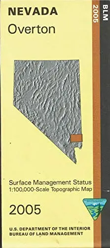
Description
- Bureau of Land Management Management Status maps color code who owns what in the given quadrant; private, tribal, or public.
- Roads, waterways, recreation sites, and other man-made and natural features are clearly marked.
- West of Overton explore Valley of Fire State Park and surrounding BLM lands open to OHV use (ATV, jeep, and motorcycle).
- Farther west is the far east section of the Desert National Wildlife Range.
- East of Overton is the Virgin River and the very north section of Lake Mead National Recreation Area.
- Explore BLM lands on the Gold Butte Back Country Byway, watch for the Desert Tortoise Areas along the way.
- Map is useful for OHV use, and NV Hunting Units 243, 244, 267, 268, 271, 272, and 286.
- Scale 1:100,000 with topographic detail.
- 2005-11-18.
- One-sided, self-cover, paper folded map.
Explore more from our collection.


![Mexico Central Map By Guia Roji (Bilingual) (Spanish Edition) (English And Spanish Edition) [Map] Guia Roji 1](https://carpartsvault.shop/wp-content/uploads/2026/05/5196CDNB7GL._SL1000-t007Bz.tmp_.webp)
Reviews
There are no reviews yet.