![Rocky Mountain National Park, Colorado (Tco1649) [Map] United States Department Of The Interior Geological Survey 1](https://carpartsvault.shop/wp-content/uploads/2026/05/418mWAp4VeL._SL1000-KfdtNp.tmp_.webp)
Description
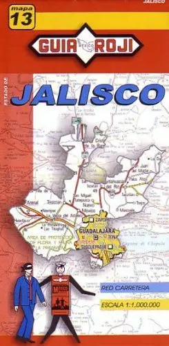
USGS’s Rock Mountain National Park, Colorado is a political, road, topographic, and recreation map all-in-one!
Paper, one-sided wall map.
Scale = 1:62.5k
Projection = Polyconic
Horizontal Datum = North American 1927
Contour Interval = 80′ topographic
Size = 28″ x 38″
Explore more from our collection.
Quality Rocky Mountain National Park, Colorado (Tco1649) [Map] United States Department Of The Interior Geological Survey for your collection.
![Estado De Morelos [Map] Guia Roji 1](https://carpartsvault.shop/wp-content/uploads/2026/05/51OwyGggB_2BL._SL1000-tEBz2y.tmp_.webp)
Reviews
There are no reviews yet.