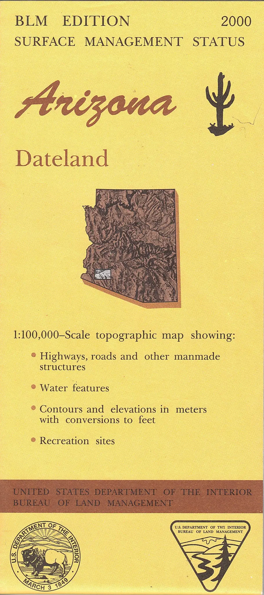
Description
Long Name: DATELAND, AZ
Scale: 1:100,000
Content: Surface Management; Contours
Alternate ID: TAZ0390
ISBN: 978-0-607-96903-0
Authors: BLM
Version Date: 2000
Regions: AZ
Nations: USA
Latitude: 32° 30′ 0″ N to 33° 0′ 0″ N
Longitude: 114° 0′ 0″ W to 113° 0′ 0″ W
Media: Paper
Format: Folded
Description: DATELAND, AZ
Survey Date: 1980, 2000
Print Date: 1982, 2001
Boundary Type: Quadrangle
Two Sided: No
Pieces: 1
Languages: English
Explore more from our collection.
![Arizona's White Mountains [Map] Russel Mead 1](https://carpartsvault.shop/wp-content/uploads/2026/05/51Yr21jVcsL._SL1000-9RhxEj.tmp_.webp)


Reviews
There are no reviews yet.