Description
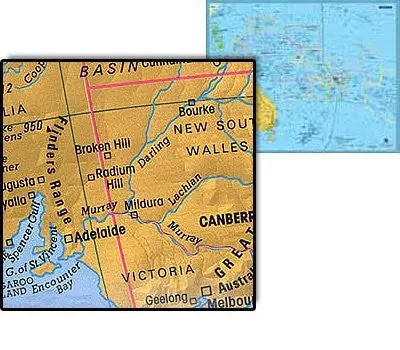
Gabelli Oceania Political Wall Map is a general reference political continental wall map. The political map features solid colored nations and ocean boundaries, red intranational boundaries, and spot elevation heights and depths in meters. City and town symbols indicate whether it is a national capital or not as well as its relative size. Shaded relief completes the picture for both landmasses and bodies of water.
Scale: 1:12.9M
Size: 35″ x 27″
Explore more from our collection.

Reviews
There are no reviews yet.