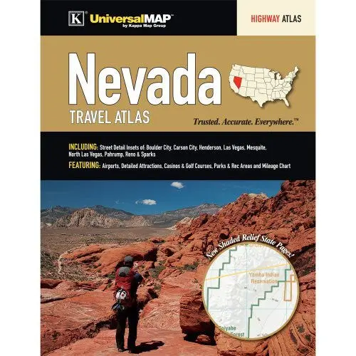
Description
The Nevada State Travel Atlas is a full-color regional atlas, including Street Detail Insets of: Boulder City, Carson City, Henderson, Las Vegas, Mesquite, North Las Vegas, Pahrump, Reno & Sparks; and features: Airports, Detailed Attractions, Casinos & Golf Courses, Parks & Recreation Areas, Mileage Chart, and Shaded Relief State pages.
- Spiralbound, 128 pages
- 27 March 2013
- 18590
Explore more from our collection.
![Dino's Quiz Map Of The Solar System [Map] Dino Kalogjera And Sanja Kolaj 1](https://carpartsvault.shop/wp-content/uploads/2026/05/61n5FQ5hDBL._SL1000-TSWDOh.tmp_.webp)

![Douglas Ne 7.5', Arizona [Map] United Stated Geological Survey 1](https://carpartsvault.shop/wp-content/uploads/2026/05/410Z8JECelL._SL1000_960643bf-125f-462b-8727-48bf6bdc1077-1K0TR9.tmp_.webp)
Reviews
There are no reviews yet.