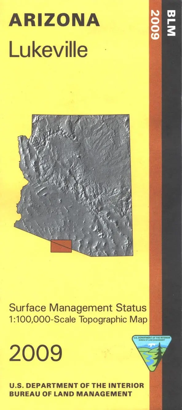
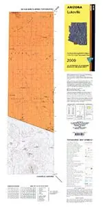
Description
Differentiates between public and private land, and also among the various agencies who manage the public lands. Explore the scenic Organ Pipe Cactus National Monument. Map covers a large portion of the Papago Indian Reservation. No BLM land on map. Use this map for AZ Hunting Unit 40B. Scale 1:100,000. 2009.
- Product Details
- Product Number: 42128
- Scale: 1:100,000
- Content: Contours; Surface Management Status
- Alternate ID: TAZ1697
- ISBN: 978-1-4113-2506-7
- Authors: BLM
- Version Date: 01/01/2009
- Regions: AZ, SO
- Countries: USA, MEX
- Latitude: 32? 00′ N to 31? 30′ N
- Longitude: 113? 00′ W to 112? 00′ W
- Media: Paper
- Format: Folded
- Historical Reproduction: No
- Additional Details
- Description: Bureau of Land Management Lukeville Surface Management Map
- Survey Date: 2009
- Print Date: 2011
- Height In Inches: 27.000
- Length In Inches: 40.000
- Boundary Type: Quadrangle
- UTM Grid: No
- Horizontal Datum: North American 1983
- Vertical Datum: National Geodetic 1929
- Projection: Lambert Conformal Conic
- Two-Sided: No
- Plates: 1
- Pieces: 1
- Languages: English
Explore more from our collection.

![Dike Tank 7.5' Arizona 1980 [Map] United Stated Geological Survey 1](https://carpartsvault.shop/wp-content/uploads/2026/05/410Z8JECelL._SL1000_ff8cf6a6-59ba-4b88-b5f2-991ca26dc2b6-5zS0Jb.tmp_.webp)
![Mexico Mapa De Carreteras [Paperback] Varios 1](https://carpartsvault.shop/wp-content/uploads/2026/05/51tf9UzB5fL._SL1000-92Yl7n.tmp_.webp)
Reviews
There are no reviews yet.