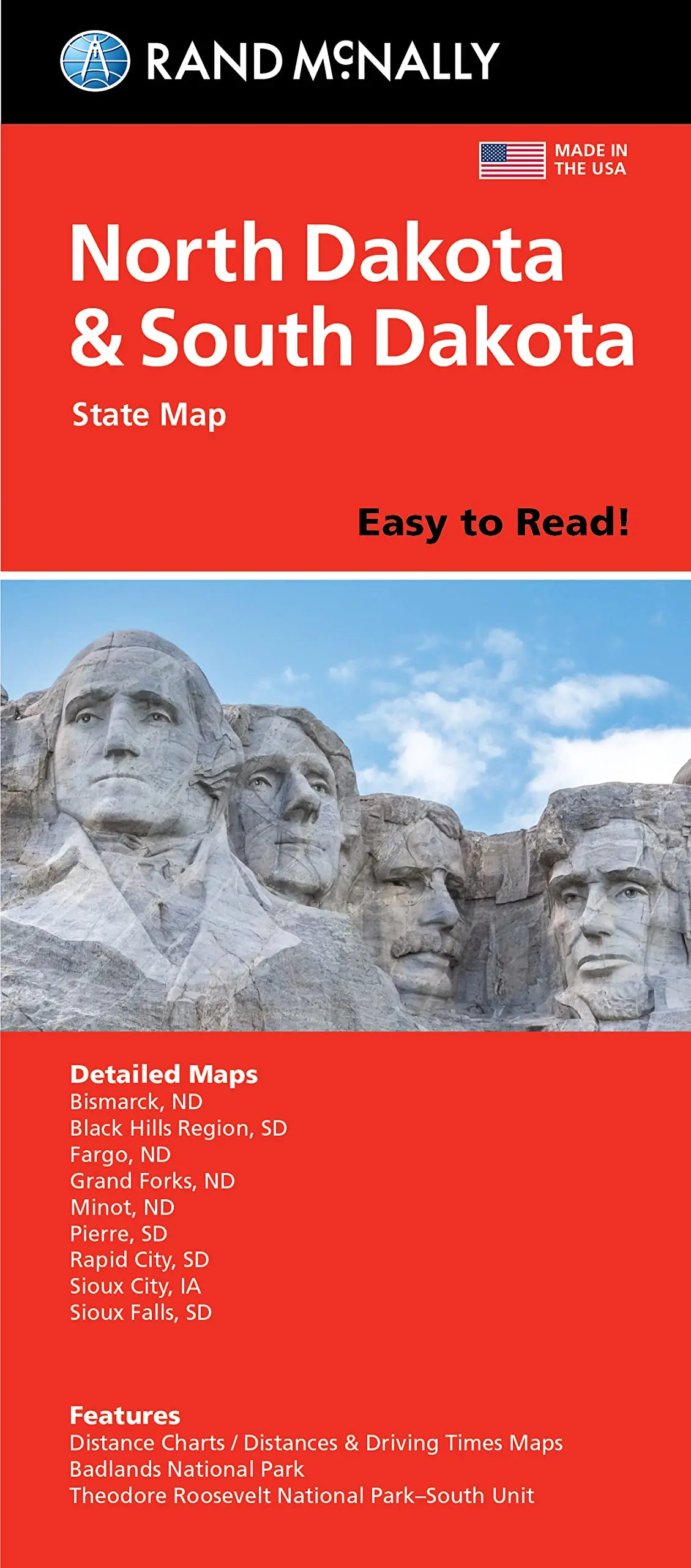
Description
Rand McNally‘s paper folded map for North Dakota and South Dakota is a must-have for anyone traveling in or through the states, offering unbeatable accuracy and reliability at a great price. Our trusted cartography shows all Interstate, U.S., state, and county highways and much more.
- Description
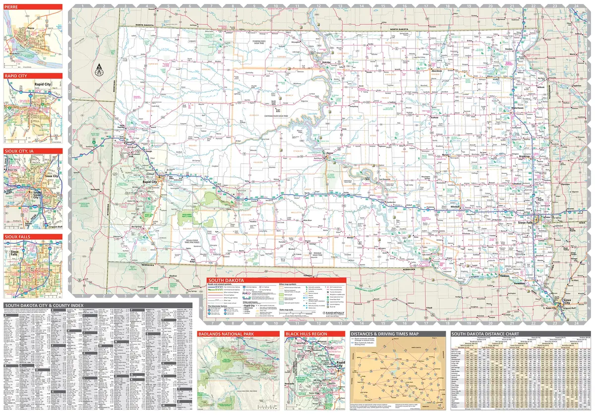
- Points of interest
- State park chart
- State mileage chart
- Driving times map
- On-the-road toolbox
- Visitor center information
- Climate data
- State facts & symbols
- Easy-to-use legend
- Detailed indexed
- Copyright 2021
- Coverage Area
- Detailed maps include Bismark, ND; Black Hills Region, Fargo, ND; Grand Forks, ND; Pierre, SD; Rapid City, SD; and Sioux Falls, SD
- Product Details
- Measures 4.0″ × 9.125″ and folds out to 36.75″ × 25.5″.
Explore more from our collection.
![Mexico Mapa De Carreteras [Paperback] Varios 1](https://carpartsvault.shop/wp-content/uploads/2026/05/51tf9UzB5fL._SL1000-92Yl7n.tmp_.webp)


Reviews
There are no reviews yet.