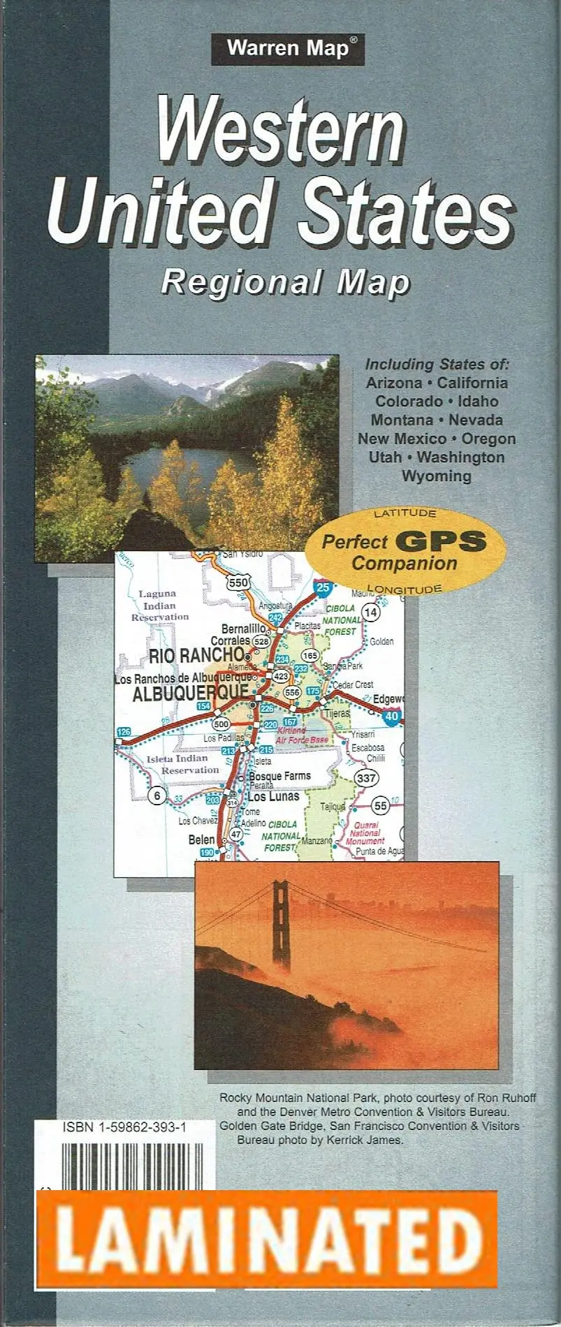
Description
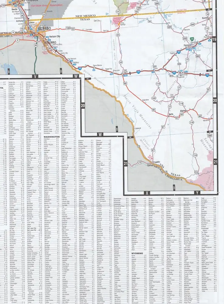
Warren Maps’ Western United States Regional Map is an up-to-date and easy-to-read map of the interstate and highway system for Arizona, California, Colorado, Idaho, Montana, Nevada, New Mexico, Oregon, Utah, Washington, and Wyoming. The map also features a cities and communities index by state. The Southwestern United States map is on the obverse, with insets of San Francisco, CA; Los Angeles, CA; San Diego, CA; Las Vegas, NV; and Phoenix, AZ. The Northwestern United States map is on the reverse, with insets of Seattle, WA; Portland, OR; Salt Lake City, UT; and Denver, CO.
Dry Erase Lamination is specialty laminate that allows for dry-erase markers to be used on the finished print and erased as desired.
- Two-sided, self-cover, dry erase laminated folded map.
- Scale:
- Southwestern United States = 1:1,843,200
- Northwestern United States = 1:1,843,200
- San Francisco, CA = 1:3,960
- Los Angeles, CA = 1:3,960
- San Diego, CA = 1:3,960
- Las Vegas, NV = 1:15,840
- Phoenix, AZ = 1:3,960
- Seattle, WA = 1:3,960
- Portland, OR = 1:3,960
- Salt Lake City, UT = 1:3,960
- Denver, CO = 1:3,960
- Size:
- Folded = 4″ × 9½”
- Unfolded = 40″ × 27¾”
Explore more from our collection.


![Dome Rock Mts Sw, Arizona 7.5' [Map] United Stated Geological Survey 1](https://carpartsvault.shop/wp-content/uploads/2026/05/419-VJ68DR.tmp_.webp)
Reviews
There are no reviews yet.