Description
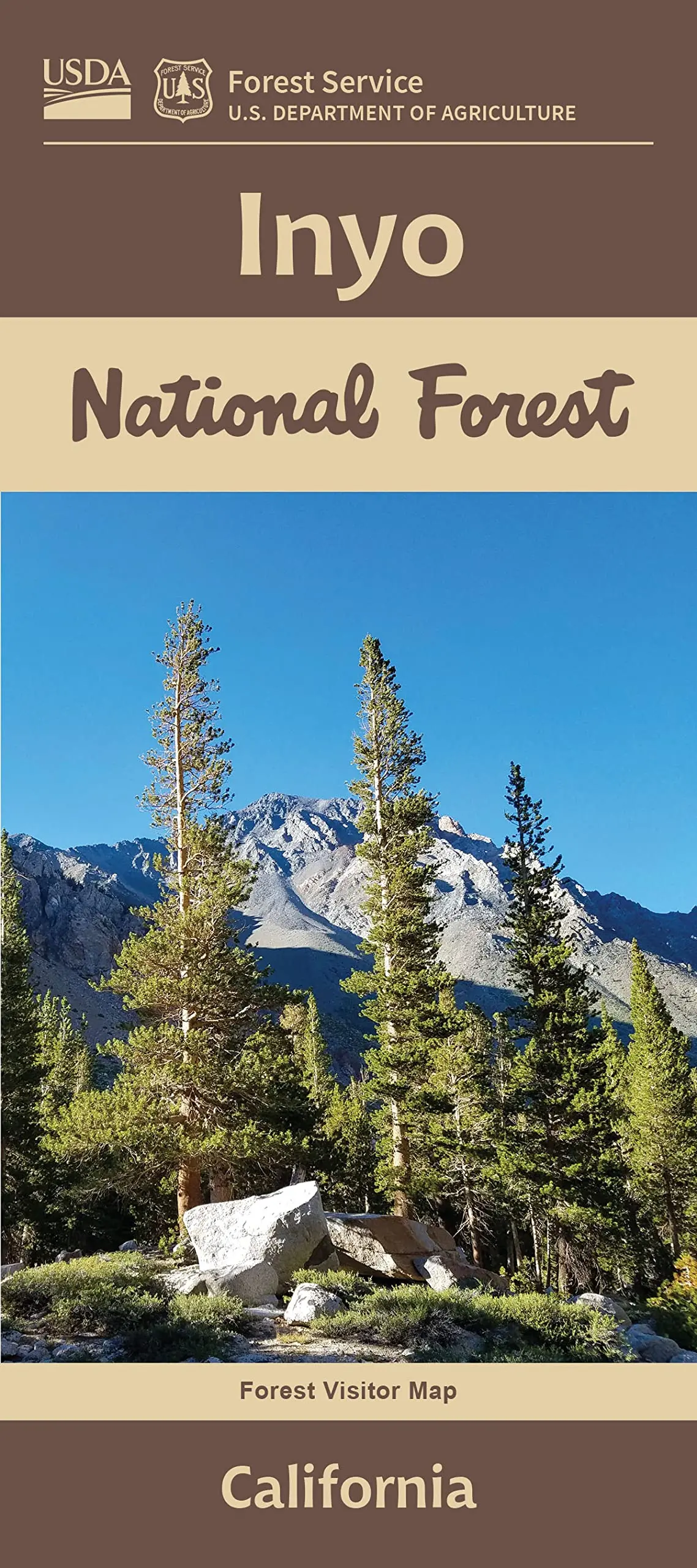
The Inyo National Forest is an outdoor playground for millions of visitors every year. The Forest extends 165 miles along the California and Nevada border and covers about 2 million acres. Located mostly on the eastern slope of the Sierra Nevada ranger, the Forest contains pristine lakes, high-elevation meadows, winding streams, unique Jeffrey Pine forests, rugged peaks, and arid Great Basin mountains. Elevation range from 4000′ in Owens Valley, to 14,496′ at Mt. Whitney, the highest peak in the contiguous United States.
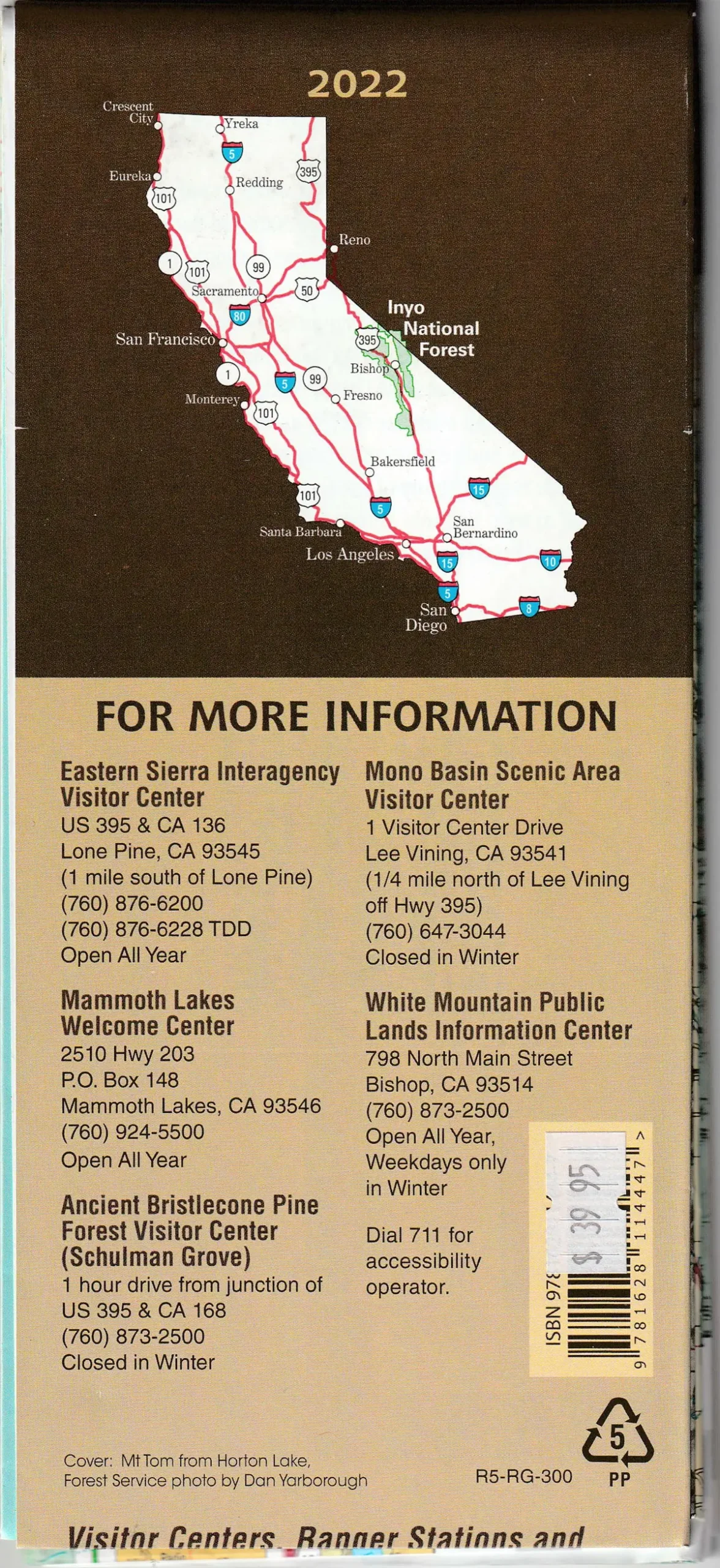
- Year – 2022
- Scale – 1/2 Inch Per Mile
- Topo Lines – No
- Shaded Relief – Yes
- Medium – Paper Tiger #5 PP Plastic
- National Forest Service – R5-RG-300
Explore more from our collection.


![Baja Peninsula Infared From Space Satellite Map Gloss Laminated [Map] Spaceshots Inc. 1](https://carpartsvault.shop/wp-content/uploads/2026/05/41DKYrRbd2L._SL1000_804c6dca-6d63-4e78-ba5f-aedfab787fff-h4Bc68.tmp_.webp)
Reviews
There are no reviews yet.