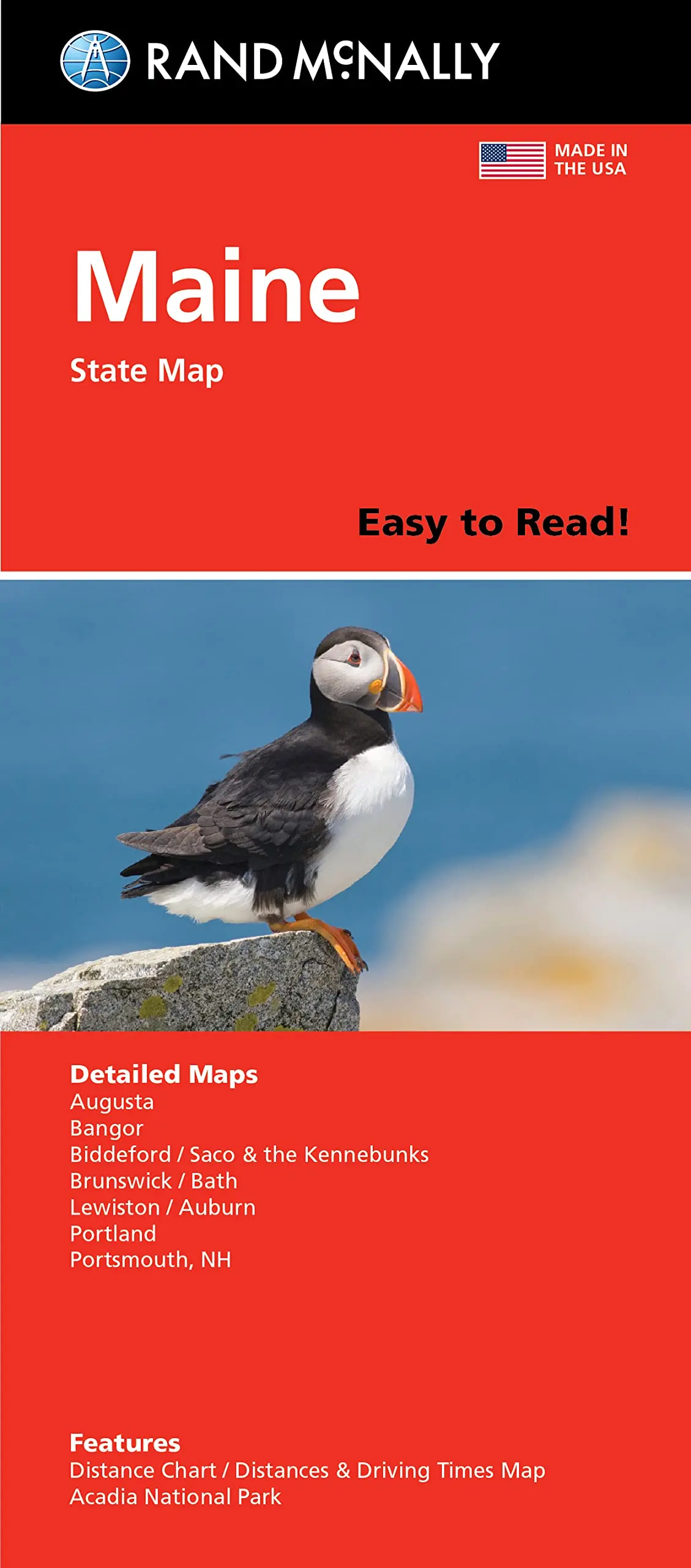
Description
Rand McNally‘s Easy To Read! State Folded Map is a must-have for anyone traveling, offering unbeatable accuracy and reliability at a great price. Our trusted cartography shows all Interstate, U.S., state, and county highways, along with clearly indicated parks, points of interest, airports, county boundaries, and streets. The easy-to-use legend and detailed index make for quick and easy location of destinations. You’ll see why Rand McNally folded maps have been the trusted standard for years.
- Regularly updated, full-color maps.
Explore more from our collection.

![Baja Peninsula Infared From Space Satellite Map Gloss Laminated [Map] Spaceshots Inc. 1](https://carpartsvault.shop/wp-content/uploads/2026/05/41DKYrRbd2L._SL1000_804c6dca-6d63-4e78-ba5f-aedfab787fff-h4Bc68.tmp_.webp)

Reviews
There are no reviews yet.