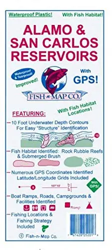
Description
Updated May 2019: Additions and Improvements to Fish-n-Map Company’s Alamo & San Carlos Reservoirs map
- Added fish habitat: Submerged brush; fair and good rock rubble
- New 1-minute longitude and latitude grids for Alamo Reservoir and new 2-minute longitude and latitude grids for San Carlos Reservoir, both of which use a datum of NAD 83
- Redid outlines of lakes and roads using aerial photos
- All new fishing strategies
- All new fishing suggestions
- New GPS coordinates provided
- Depth numbers included for both the new and old conservation pool for Alamo Reservoir
- Added onshore brush
- Boat ramps, roads, and facilities updated
- Now a 3-color map
Features:
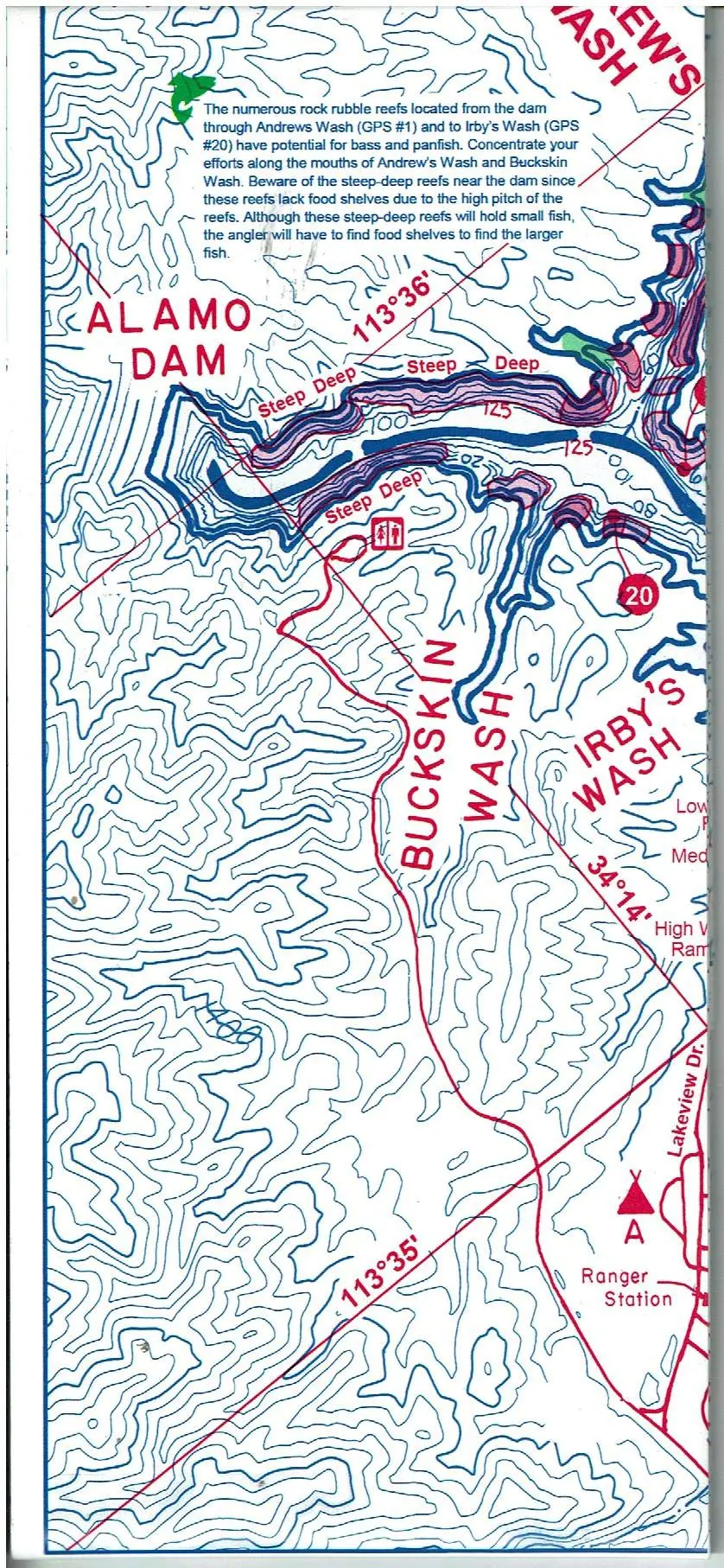
- 10-foot underwater depth contours
- Latitude and longitude grids
- Suggested fishing locations are shown throughout chart
- Onshore and submerged brushes identified
- Submerged railroad and roadbeds shown
- Underwater channels identified
- New and old conservation pools identified for Alamo Reservoir
- Boat ramps, roads, campgrounds, and facilities identified
- Waterproof and Tear-resistant plastic folds to 9″×4″, unfolds to 3’×2′, 2-sided chart
- Made in the U.S.A.
- Contours: 10′
- Scale: 1:14,600 / 1:22,500
- GPS Data: No
- Water Type: Fresh
- State: Arizona
- UPC: 761428 052018
Explore more from our collection.


Reviews
There are no reviews yet.