Description
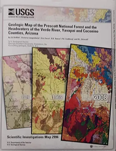
This 1:100,000-scale digital geologic map details the complex Early Proterozoic metavolcanic and plutonic basement of north-central Arizona; shows the mildly deformed cover of Paleozoic rocks; reveals where Laramide to mid-Tertiary plutonic rocks associated with base- and precious-metals deposits are exposed; subdivides the Tertiary volcanic rocks according to chemically named units; and maps the Pliocene to Miocene fill of major basins. Associated digital files include more than 1,300 geochemical analyses of all rock units; 1,750 logs of water wells deeper than 300 feet; and interpreted logs of 300 wells that define the depth to basement in major basins. Geophysically interpreted buried features include normal faults defining previous unknown basins, mid-Tertiary intrusive rocks, and half-grabens within shallow bains.
- DeWitt, Lanenheim, Force, Vance, Lindberg and Driscoll
- SIM 2996
Explore more from our collection.

![Dos Cabezas, Arizona 7.5' [Map] United Stated Geological Survey 1](https://carpartsvault.shop/wp-content/uploads/2026/05/421-gOAqhA.tmp_.webp)
![Baja Peninsula Infared From Space Satellite Map Gloss Laminated [Map] Spaceshots Inc. 1](https://carpartsvault.shop/wp-content/uploads/2026/05/41DKYrRbd2L._SL1000_804c6dca-6d63-4e78-ba5f-aedfab787fff-h4Bc68.tmp_.webp)
Reviews
There are no reviews yet.