Description
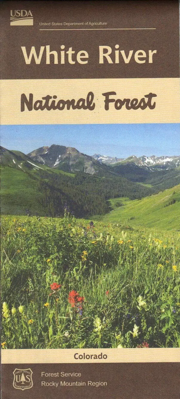
Official National Forest Service map of the White River National Forest, which is the most visited national forest in the nation, encompassing 2.3 million acres.
- Year – 2019
- Topo (Contour) Lines – No
- Relief Shading – Yes
- Material – Paper Tyger
- Double-Sided – Yes
Nestled in the heart of the Rocky Mountains, the 2.3 million-acre White River National Forest is the top recreation Forest in the nation. Home to world-renowned ski resorts and the birthplace of Wilderness, the White River has something to offer every outdoor enthusiast.
- The forest includes 11 ski resorts, eight Wilderness areas, 10 mountain peaks over 14,000 feet, and 2,500 miles of trails.
- Waterproof and tear-resistant material
- Highlights recreation opportunities such as trails, campgrounds, boat launches, and more
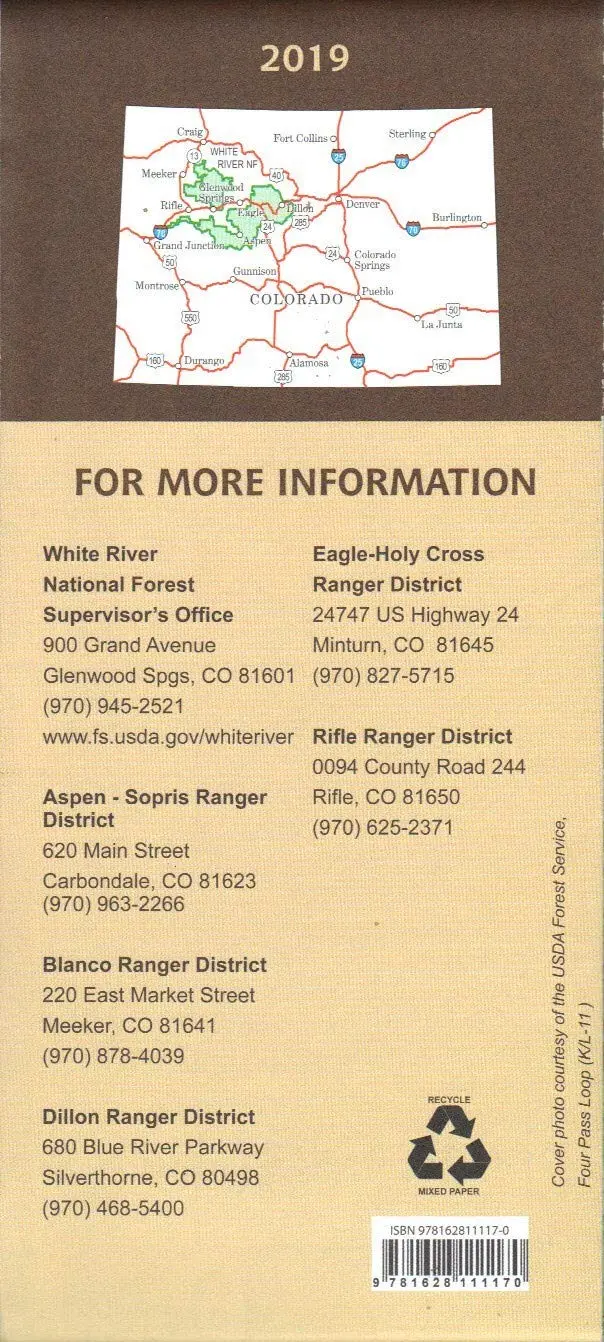
- Includes official US Forest Service district office contact information to check local conditions, as well as township and range section numbers
- Land ownership boundaries (federal, state, private) are color-coded
- Printed in the U.S.A.
- Folded Dimensions: (L” × W” × D”) 9 × 4 × .25
- Unfolded Dimensions: (L” × W”) 48 × 36
- Map Scale: 1/2″ = 1 mile (1:126,720)
Explore more from our collection.
![Douglas Ne 7.5', Arizona [Map] United Stated Geological Survey 1](https://carpartsvault.shop/wp-content/uploads/2026/05/410Z8JECelL._SL1000_960643bf-125f-462b-8727-48bf6bdc1077-1K0TR9.tmp_.webp)

![Estado De Baja California Sur [Map] Guia Roji 1](https://carpartsvault.shop/wp-content/uploads/2026/05/51NXwO-_2BFSL._SL1000-rHEoCx.tmp_.webp)
Reviews
There are no reviews yet.