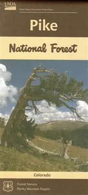
Description
Official Forest Service map of the Pike National Forest, home of Mount Evans at 14,264 ft.
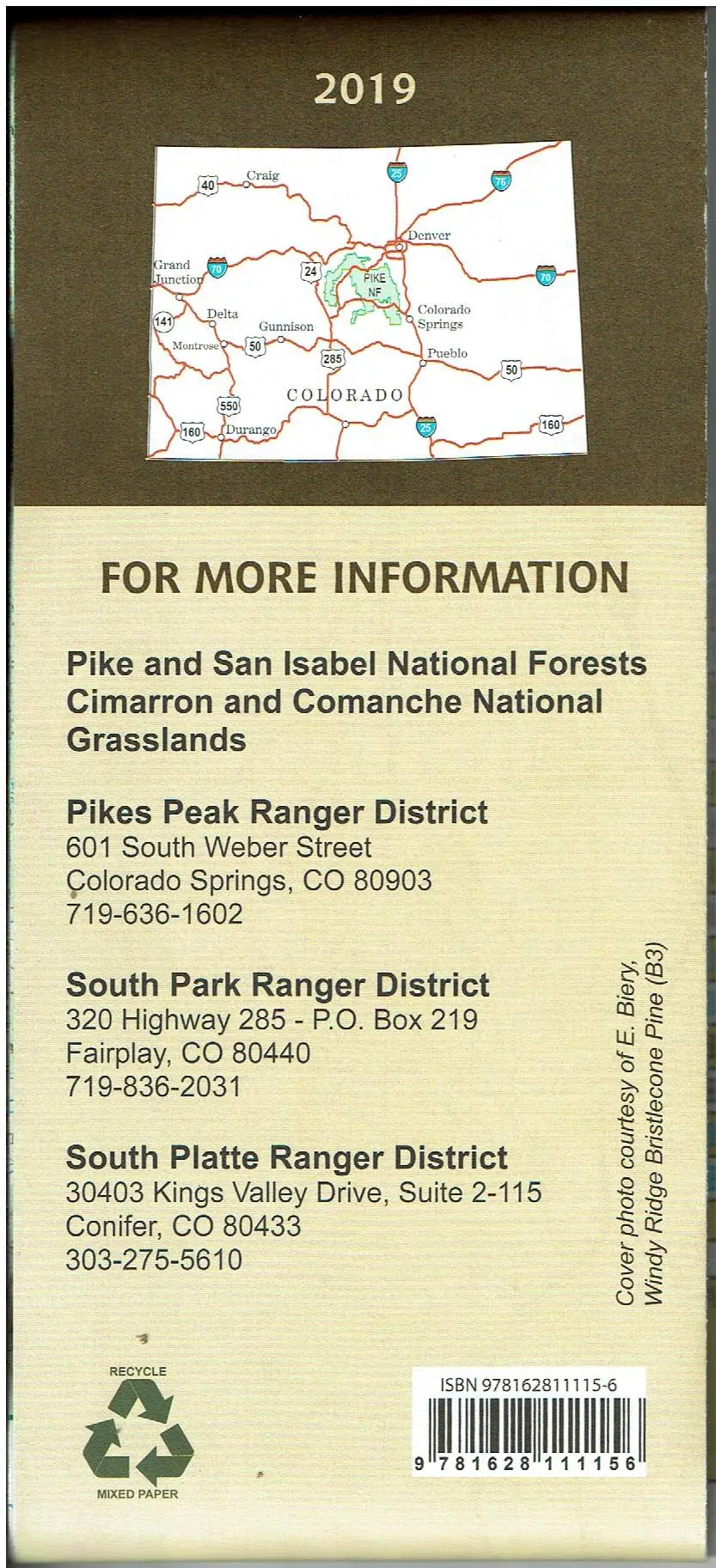
- Year – 2019-10-31
- Topo Contour Lines – No
- Relief Shading – No
- Material – Paper Tyger
- Double Sided – Yes
- Includes Windy-Ridge Bristlecone Pine Scenic Area.
- Waterproof and tear-resistant material.
- Highlights recreation opportunities such as trails, campgrounds, boat launches, and more
- Includes official US Forest Service district office contact information to check local conditions as well as township and range section numbers
- Land ownership boundaries (federal, state, private) are color-coded
- Printed in the U.S.A.
- Folded Dimensions: (L” × W” × D”) 9 × 4 × .25
- Unfolded Dimensions: (L” × W”) 45 × 36
- Map Scale: 1/2″ = 1 mile (1:126,720)
- National Forest Service Rocky Mountain Region
Explore more from our collection.
![Dike Tank 7.5' Arizona 1980 [Map] United Stated Geological Survey 1](https://carpartsvault.shop/wp-content/uploads/2026/05/410Z8JECelL._SL1000_ff8cf6a6-59ba-4b88-b5f2-991ca26dc2b6-5zS0Jb.tmp_.webp)
![Mexico Mapa De Carreteras [Paperback] Varios 1](https://carpartsvault.shop/wp-content/uploads/2026/05/51tf9UzB5fL._SL1000-92Yl7n.tmp_.webp)

Reviews
There are no reviews yet.