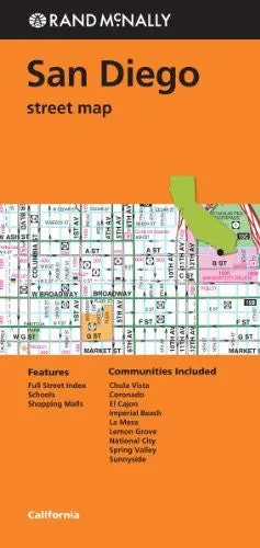
Description
Rand McNally‘s folded map for San Diego is a must-have for anyone traveling in and around this part of California, offering unbeatable accuracy and reliability at a great price. Our trusted cartography shows all Interstate, U.S., state, and county highways, along with clearly indicated parks, points of interest, airports, county boundaries, and streets. The easy-to-use legend and detailed index make for quick and easy location of destinations. You’ll see why Rand McNally folded maps have been the trusted standard for years.
- Regularly updated
- Full-color maps
- Clearly labeled Interstate, U.S., state, and county highways
- Indications of parks, points of interest, airports, schools, shopping malls, county boundaries, downtown & vicinity maps
- Easy-to-use legend
- Detailed & full street index
- Convenient folded size
- Coverage Area
- Communities Included: Chula Vista, Coronado, El Cajon, Imperial Beach, La Mesa, Lemon Grove, National City, Spring Valley, and Sunnyside
- Product Details
- Measures 4.5′ × 9′ and folds out to 28′ × 40′.
Explore more from our collection.
![Apache Maid Mountain, Arizona 7.5' [Map] United States Geological Survey 1](https://carpartsvault.shop/wp-content/uploads/2026/05/410Z8JECelL._SL1000_dce0475b-5bbc-42d7-84d0-78eeff0231e4-2aslbs.tmp_.webp)


Reviews
There are no reviews yet.