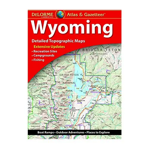
Description
With an incredible wealth of detail, DeLorme’s Atlas & Gazetteer is the perfect companion for exploring the Wyoming outdoors. Extensively indexed, full-color topographic maps provide information on everything from cities and towns to historic sites, scenic drives, trailheads, boat ramps and even prime fishing spots. With a total of 60 map pages, the Atlas & Gazetteer is your most comprehensive navigational guide to Wyoming’s backcountry. Extensively indexed. Handy latitude/longitude overlay grid for each map allows you to navigate with GPS. Inset maps provided for Yellowstone National Park, major cities as well as all state lands.
- Product Details: Wyoming State.
- Dimensions: 11″ × 15.5″.
- Available for all 50 States!
- Tenth edition, 2020.
- Staplebound, 72 pages.
Explore more from our collection.

![Dome Rock Mts Sw, Arizona 7.5' [Map] United Stated Geological Survey 1](https://carpartsvault.shop/wp-content/uploads/2026/05/419-VJ68DR.tmp_.webp)
![Dike Tank 7.5' Arizona 1980 [Map] United Stated Geological Survey 1](https://carpartsvault.shop/wp-content/uploads/2026/05/410Z8JECelL._SL1000_ff8cf6a6-59ba-4b88-b5f2-991ca26dc2b6-5zS0Jb.tmp_.webp)
Reviews
There are no reviews yet.