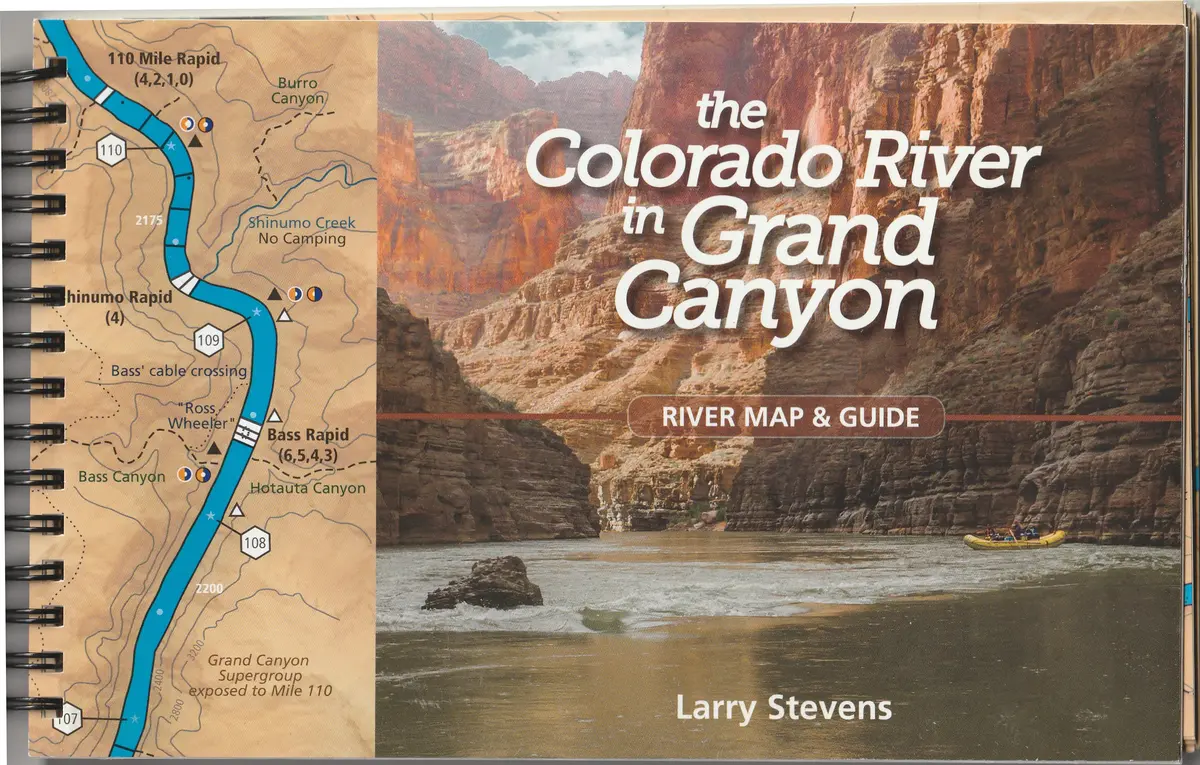
Description
This waterproof gazetteer and atlas is designed for running the Colorado River in Grand Canyon from Glen Canyon Dam to Pearce Ferry; for scribbling notes about rapids, camps, or unexpected sights or events; and to help inform or remind us of the vast temporal and spatial scope of Grand Canyon. Our knowledge of the Grand Canyon is ever-expanding, and this guidebook is — and ever will be — a work in progress. We hope you will join us in this river community effort to widen the appreciation, understanding, and stewardship of this remarkable landscape!
- River maps read as you run from Glen Canyon to Lake Mead
- Updated with current mileage & fully indexed!
- Seasonal sun and shade indicators for popular camps
- Guide opens flat for ease of use
- Geography, geology, biology, and history all under one cover!
- Spiral-bound, 144 pages
- By Larry Stevens & Museum of Northern Arizona
Explore more from our collection.
![Dos Cabezas, Arizona 7.5' [Map] United Stated Geological Survey 1](https://carpartsvault.shop/wp-content/uploads/2026/05/421-gOAqhA.tmp_.webp)
![Estado De Baja California Sur [Map] Guia Roji 1](https://carpartsvault.shop/wp-content/uploads/2026/05/51NXwO-_2BFSL._SL1000-rHEoCx.tmp_.webp)

Reviews
There are no reviews yet.