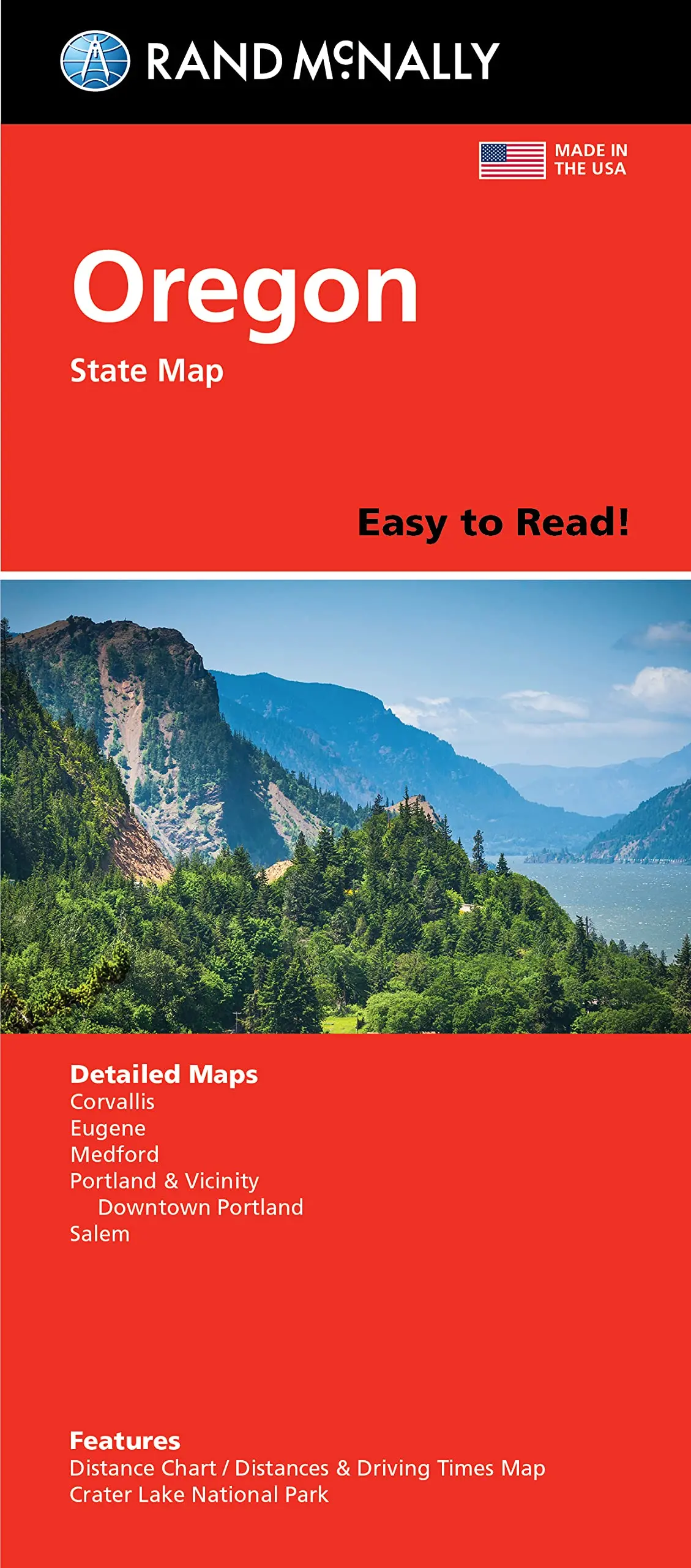
Description
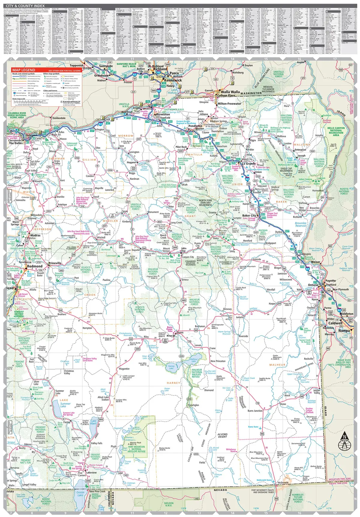
Rand McNally‘s Easy To Read! State Folded Map is a must-have for anyone traveling in and around Oregon, offering unbeatable accuracy and reliability at a great price. Our trusted cartography shows all Interstate, U.S., state, and county highways, along with clearly indicated parks, points of interest, airports, county boundaries, and streets. The easy-to-use legend and detailed index make for quick and easy location of destinations. You’ll see why Rand McNally folded maps have been the trusted standard for years.
- Regularly updated, full-color maps
- 45% larger map with a bigger type size than the Rand McNally Folded Map
- Clearly labeled Interstate, U.S., state, and county highways
- Indications of parks, points of interest, airports, county boundaries, and more
- Mileage and driving times map
- Detailed index
- Convenient folded size
- Detailed maps of: Corvallis, Crater Lake National Park, Eugene, Medford, Portland & Vicinity, Downtown Portland, and Salem
- Two-sided, self-cover, paper/non-laminated folded map
- 2022-05-16
- 48060-2022ed
Explore more from our collection.


![Estado De Baja California Sur [Map] Guia Roji 1](https://carpartsvault.shop/wp-content/uploads/2026/05/51NXwO-_2BFSL._SL1000-rHEoCx.tmp_.webp)
Reviews
There are no reviews yet.