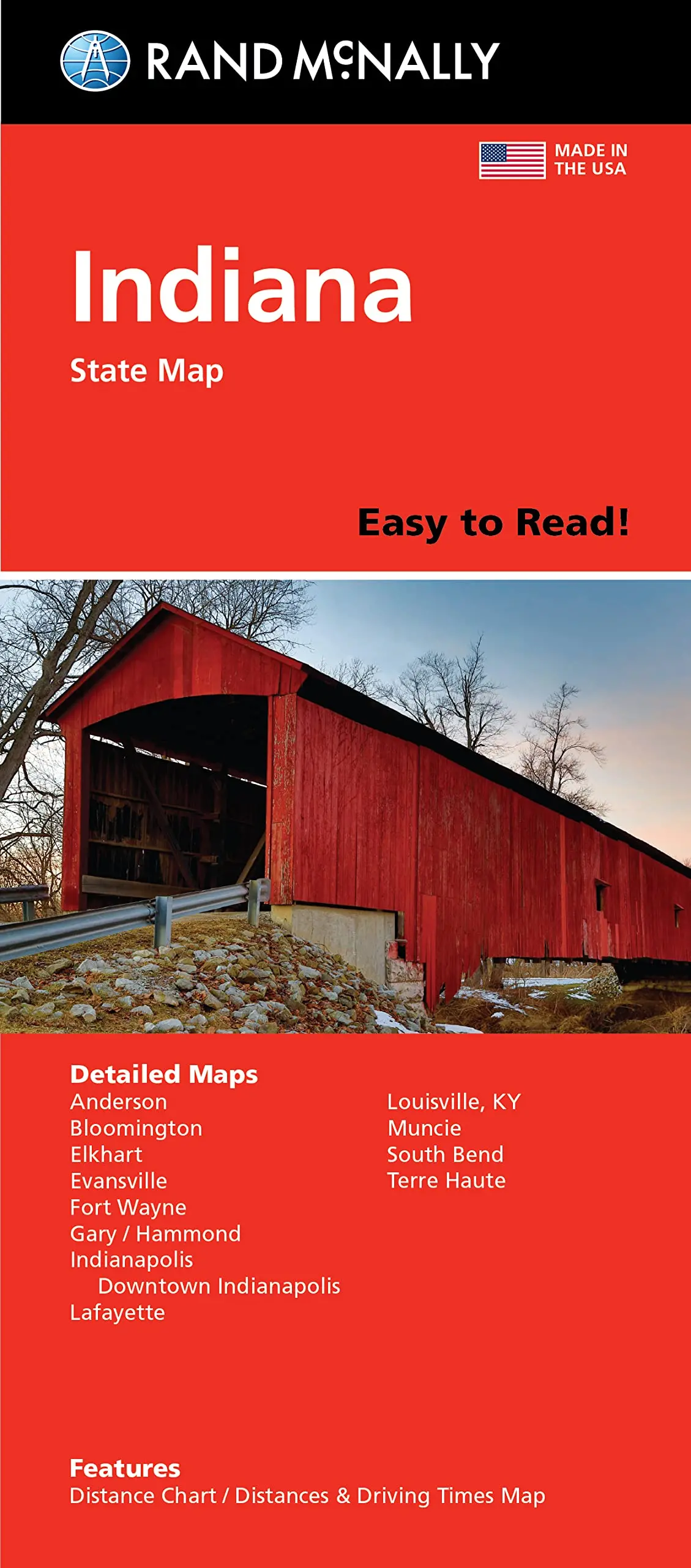
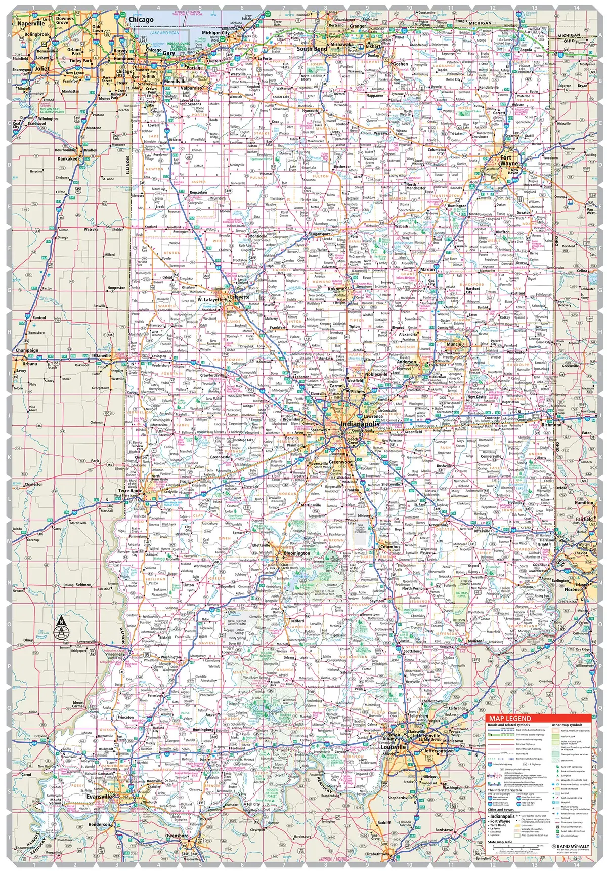
Description
Rand McNally Easy To Read! Indiana State Map
- Regularly updated, full-color maps
- 42% larger map with a bigger type size than the Rand McNally Folded Map
- Clearly labeled Interstate, U.S., state, and county highways
- Indications of county boundaries, schools, shopping malls, parks, golf courses, hospitals, airports, and points of interest
- Mileage and driving times map
Explore more from our collection.


Reviews
There are no reviews yet.