Description
Rand McNally‘s Easy To Read! State Folded Maps are a must-have for anyone traveling, offering unbeatable accuracy and reliability at a great price. Our trusted cartography shows all Interstate, U.S., state, and county highways, along with clearly indicated parks, points of interest, airports, county boundaries, and streets. The easy-to-use legend and detailed index make for quick and easy location of destinations. You’ll see why Rand McNally folded maps have been the trusted standard for years.
- Regularly updated, full-color maps.
- Larger map with a bigger type size than the Rand McNally Folded Map.
- Clearly labeled Interstate, U.S., state, and county highways.
- Indications of parks, points of interest, airports, county boundaries, and more.
- Mileage and driving times map.
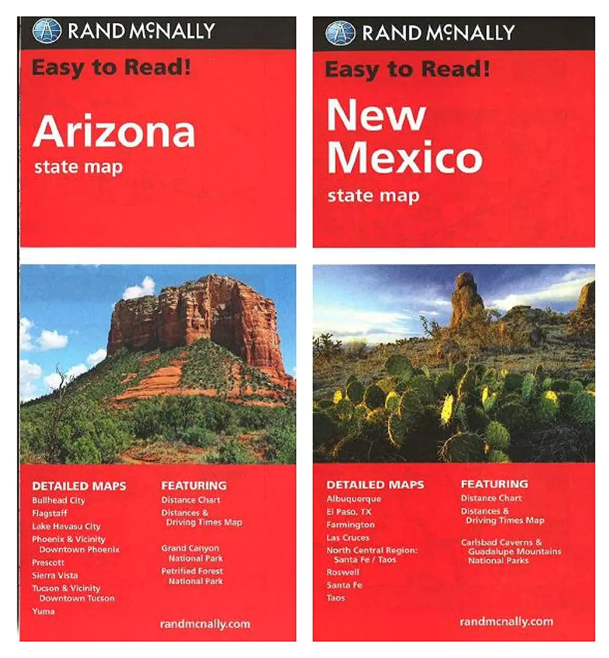
- Coverage Area:
- Detailed Arizona maps of Flagstaff, Grand Canyon National Park, Lake Havasu City, Petrified Forest National Park, Phoenix & Vicinity, Phoenix, Downtown Prescott, Tucson & Vicinity, Tucson Downtown, and Yuma.
- Detailed New Mexico maps include Albuquerque, Las Cruces, Roswell, Santa Fe, Santa Fe/Taos Region, and Taos.
- Product Details:
- Dimensions:
- Unfolded 28 × 40
- Folded 4″ × 9.5″
- 1:722,300 or 1 inch represents approx. 11.4 miles.
- Dimensions:
- 43786 + 43849
Explore more from our collection.
![Estado De Baja California Sur [Map] Guia Roji 1](https://carpartsvault.shop/wp-content/uploads/2026/05/51NXwO-_2BFSL._SL1000-rHEoCx.tmp_.webp)
![Dike Tank 7.5' Arizona 1980 [Map] United Stated Geological Survey 1](https://carpartsvault.shop/wp-content/uploads/2026/05/410Z8JECelL._SL1000_ff8cf6a6-59ba-4b88-b5f2-991ca26dc2b6-5zS0Jb.tmp_.webp)

Reviews
There are no reviews yet.