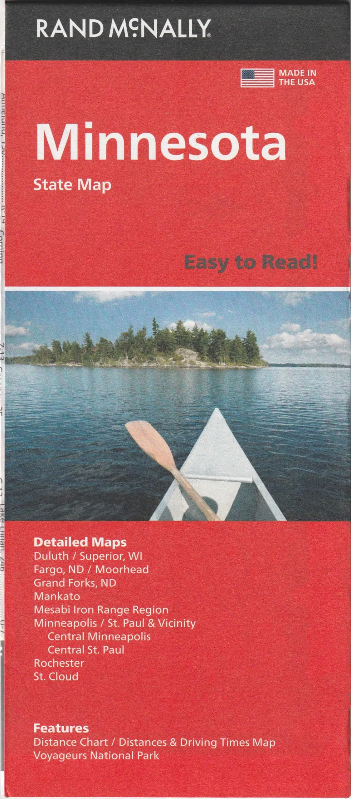
Description
Rand McNally‘s Easy To Read! State Folded Map is a must-have for anyone traveling in and around Minnesota, offering unbeatable accuracy and reliability at a great price. Our trusted cartography shows all Interstate, U.S., state, and county highways, along with clearly indicated parks, points of interest, airports, county boundaries, and streets.
The easy-to-use legend and detailed index make for quick and easy location of destinations. You’ll see why Rand McNally folded maps have been the trusted standard for years.
- Description
- Regularly updated, full-color maps
- 40% larger map with a bigger type size than the Rand McNally Folded Map
- Clearly labeled Interstate, U.S., state, and county highways
- Indications of parks, points of interest, airports, county boundaries, and more
- Mileage and driving times map
- Detailed index
- Convenient folded size
- Copyright 2023-08-09
- Coverage Area
- Detailed maps of: Duluth, Grand Forks, ND; Mesabi Iron Range Region, Minneapolis/St. Paul & Vicinity, Downtown Minneapolis, Downtown St. Paul, Moorhead/Fargo, ND; Rochester, St. Cloud
- Product Details
- Dimensions (unfolded): 28″ × 40″.
- Two-sided, self-cover, paper/non-laminated.
Explore more from our collection.


Reviews
There are no reviews yet.