Description
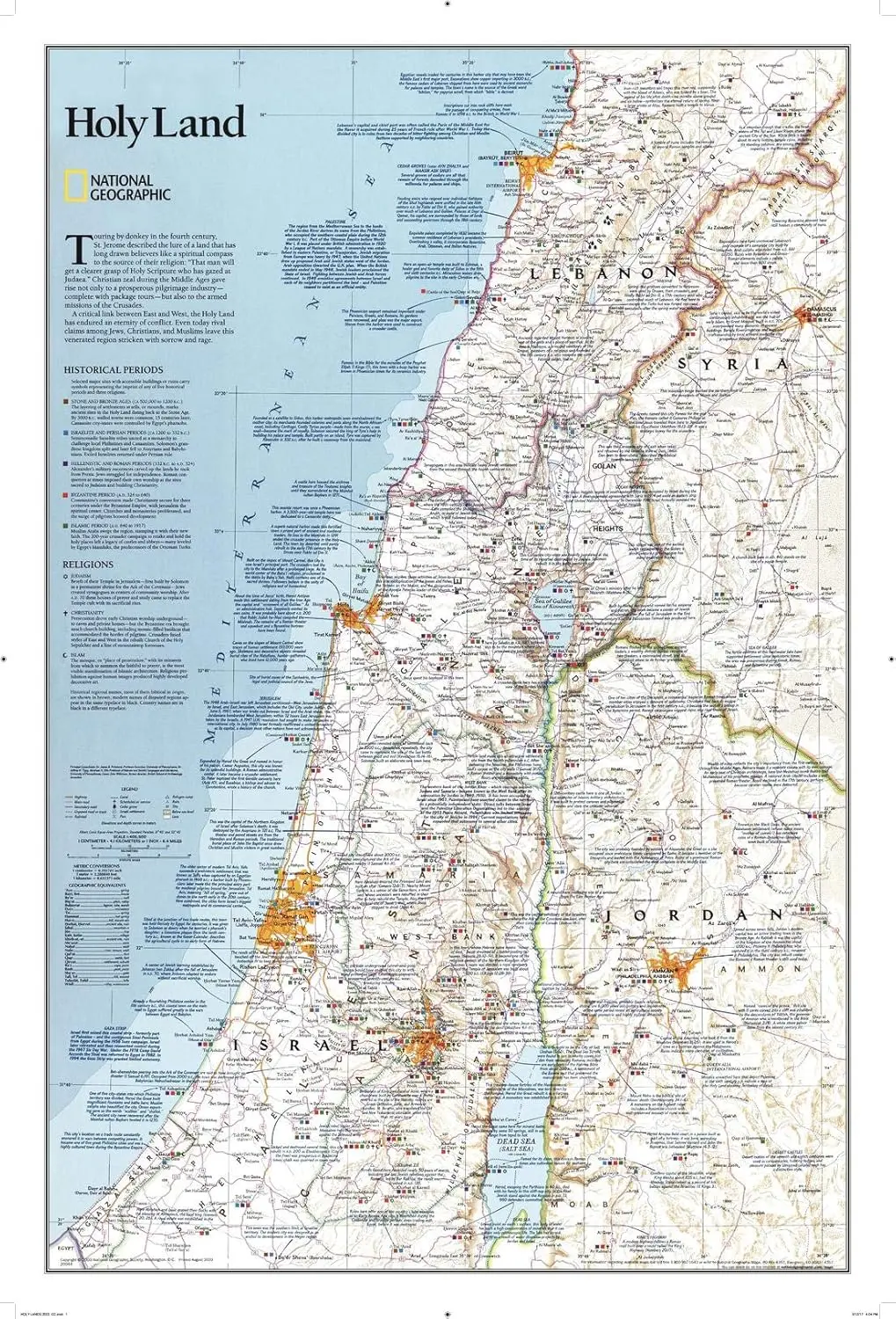
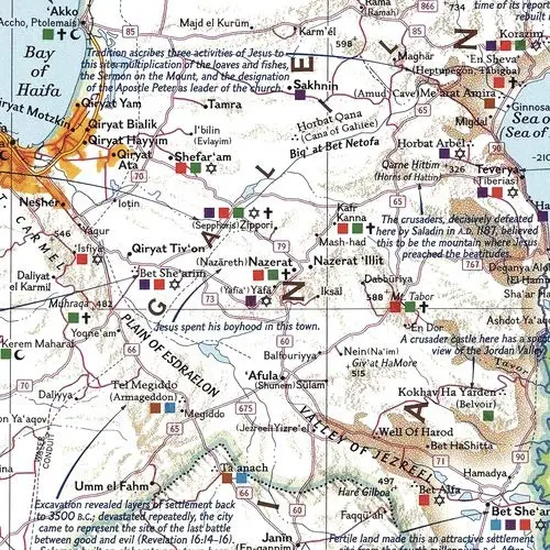
National Geographic‘s Holy Land Wall Map provides a fascinating in-depth look at the faiths, peoples, and politics that have shaped this historic region. This detailed political map is overlaid with facts about significant religious sites. Information on Judaism, Christianity, and Islam, as well as historical periods from the Stone and Bronze Ages to the Islamic period through 1917, makes this as much an educational tool as an attractive work of cartographic art. Cities, bodies of water, geographical features, ruins, Israeli settlements, and more are noted, as are transportation infrastructure such as highways, roads, railroads, canals, and airports. Coverage includes Lebanon, Syria, Jordan, and Israel.
The map is packaged in a two-inch diameter tube with a label showing a thumbnail of the map with dimensions and other pertinent information.
- Map Scale = 1:405,500
- Sheet Size = 22.25″ × 33″
Explore more from our collection.

![Estado De Baja California Sur [Map] Guia Roji 1](https://carpartsvault.shop/wp-content/uploads/2026/05/51NXwO-_2BFSL._SL1000-rHEoCx.tmp_.webp)

Reviews
There are no reviews yet.