Description
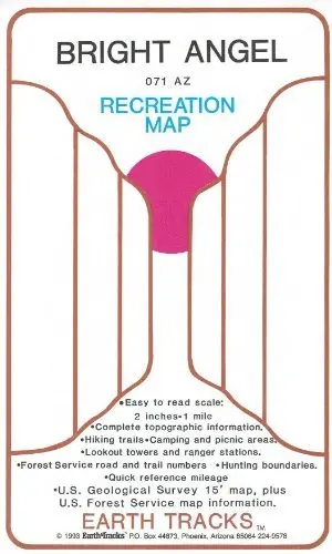
This map takes the 15-minute topographic quadrangle Bright Angel from the United States Geological Society and blows it up to 1:31,680-scale! Now at a scale of 2 inches = 1 mile, this complete Recreation Map includes:
- Hiking Trails
- Camping and picnic areas
- Lookout towers and ranger stations
- National Forest Service road and trail numbers
- Hunting boundaries
- Quick reference mileage
- USGS & NFS map information
- Gordon Wahl
Explore more from our collection.

![Mexico Central Map By Guia Roji (Bilingual) (Spanish Edition) (English And Spanish Edition) [Map] Guia Roji 1](https://carpartsvault.shop/wp-content/uploads/2026/05/5196CDNB7GL._SL1000-t007Bz.tmp_.webp)

Reviews
There are no reviews yet.