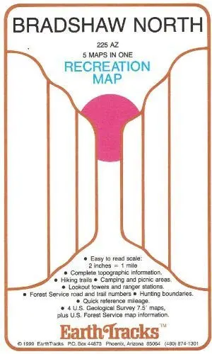
Description
This gloss laminated folded topographic map covers the area and detail of four United States Geological Survey 7.5’x7.5′ quadrangles with added United States Forest Service detail, all at an easy-to-read scale of of two inches to one mile. The map includes complete topographic information, hiking trails, camping and picnic areas, lookout towers and ranger stations, NFS road and trail numbers; hunting boundaries, and quick reference mileage.
- Two-sided,self-cover, laminated folded map
Explore more from our collection.

![Estado De Baja California Sur [Map] Guia Roji 1](https://carpartsvault.shop/wp-content/uploads/2026/05/51NXwO-_2BFSL._SL1000-rHEoCx.tmp_.webp)

Reviews
There are no reviews yet.