Description
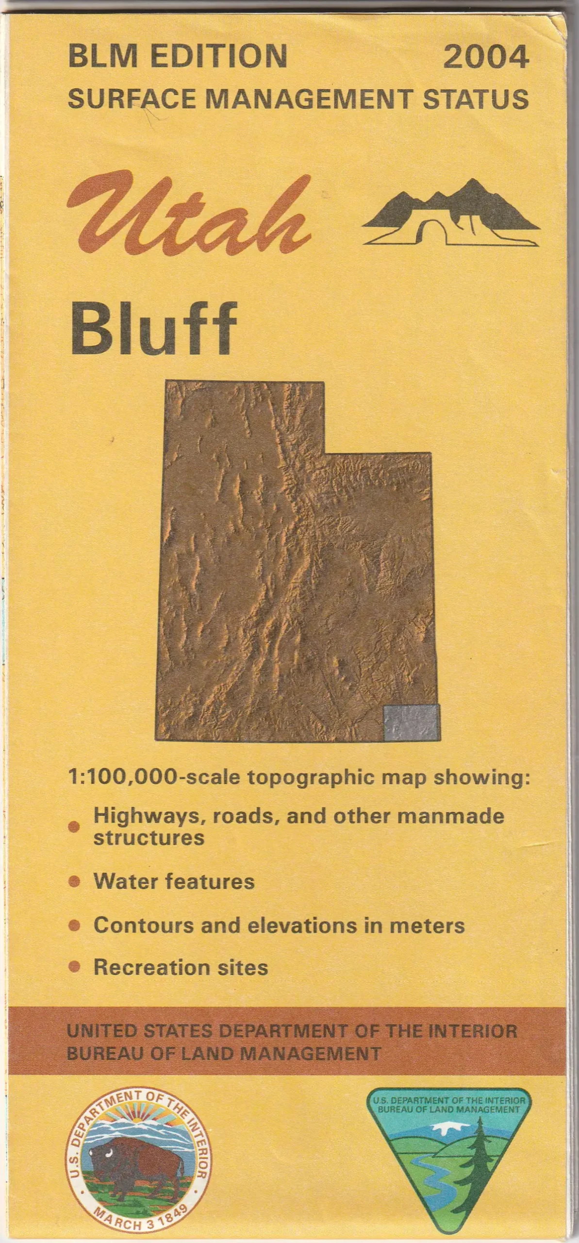
This is the official Bureau of Land Management metric topographic map @ 1:100,000-scale (roughly 3/4 of an inch to 1 mile), color-coded to show Surface Management/ownership, i.e. public vs private or tribal. The map shows roads, recreation sites, trails, water features, points of interest, and township and range lines. River running on the San Juan River from Sand Island to Mexican Hat is a favorite for boaters. The area includes extensive BLM lands for recreational activities easily accessed from Bluff. A drive down or up the spectacular Moki Dugway will make a lasting impression. The stunning scenery of the Valley of the Gods and the Comb Ridge area are a photographer’s delight. The Goosenecks of the San Juan provide a fascinating geological treat. Use this map for hunting in the San Juan unit.
- 2004-11-17
- One-sided, self-cover, paper/non-laminated folded map
Explore more from our collection.


![Dike Tank 7.5' Arizona 1980 [Map] United Stated Geological Survey 1](https://carpartsvault.shop/wp-content/uploads/2026/05/410Z8JECelL._SL1000_ff8cf6a6-59ba-4b88-b5f2-991ca26dc2b6-5zS0Jb.tmp_.webp)
Reviews
There are no reviews yet.