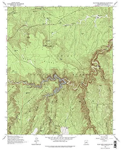
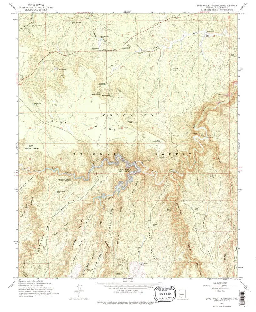
Description
Blue Ridge Reservoir, AZ 1965 United States Geological Survey 7.5-minute quadrangle map is also available in a 2014 edition as USGS C.C. Cragin Reservoir, AZ 2014.
- Product Details
- Product Number: 40606
- Scale: 1:24,000
- Content: Contours
- Alternate ID: TAZ0157
- ISBN: 978-0-607-06320-2
- Version Date: 01/01/1965
- Regions: AZ
- Countries: USA
- Latitude: 34° 37′ 30″ N to 34° 30′ 00″ N
- Longitude: 111° 15′ 00″ W to 111° 07′ 30″ W
- Media: Paper
- Format: Flat
- Historical Reproduction: Yes
- Additional Details
- Description: Blue Ridge Reservoir, Arizona (laterly C. C. Cragin in current naming conventions) Historical Map 7.5’×7.5′ Grid 1:24,000-Scale 1965
- Survey Date: 1965
- Print Date: 1975
- Height In Inches: 26.850
- Length In Inches: 22.010
- Boundary Type: Quadrangle
- UTM Grid: Ticks
- Horizontal Datum: North American 1927
- Vertical Datum: National Geodetic 1929
- UTM: Zone 12
- Two-Sided: No
- Plates: 1
- Pieces: 1
- Languages: English
Explore more from our collection.


Reviews
There are no reviews yet.