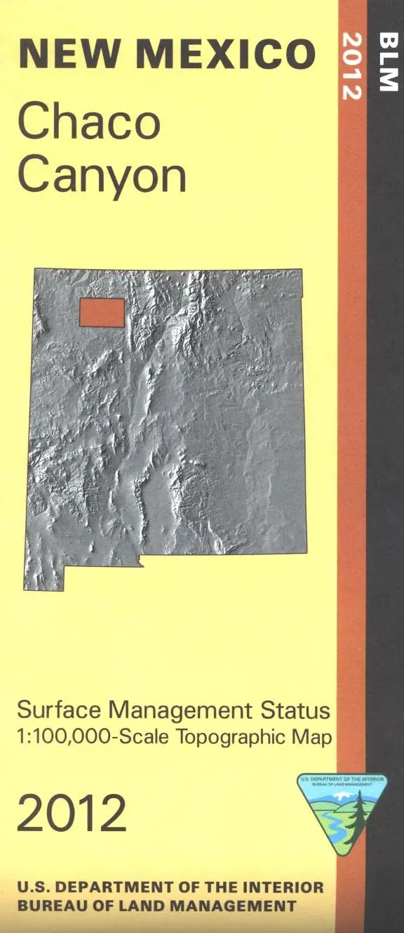
Description
Official Bureau of Land Management topographic maps @1:100,000 metric scale (roughly 3/4″ = 1 mile), are color-coded to show federally-managed public lands; plus state, private, or tribal lands, military withdrawals, roads and trails, lakes, rivers and streams, and developed recreation areas. It is a great map to have while stalking game in Hunting Units 2C, 3, 7, 5A, fishing (where available), wildlife watching, hiking, backpacking, mountain biking, camping, or OHV and ATV riding. This map shows access roads leading into Chaco Canyon National Historic Park and includes roads and lands in San Juan, Rio Arriba, and Sandoval Counties.
- 2012 Map: Chaco Canyon NM – NM013S
- One-sided, self-cover, paper/non-laminated folded map.
Explore more from our collection.
![Arizona's White Mountains [Map] Russel Mead 1](https://carpartsvault.shop/wp-content/uploads/2026/05/51Yr21jVcsL._SL1000-9RhxEj.tmp_.webp)

![Dike Tank 7.5' Arizona 1980 [Map] United Stated Geological Survey 1](https://carpartsvault.shop/wp-content/uploads/2026/05/410Z8JECelL._SL1000_ff8cf6a6-59ba-4b88-b5f2-991ca26dc2b6-5zS0Jb.tmp_.webp)
Reviews
There are no reviews yet.