Description
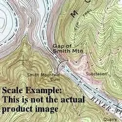
USGS US Topo 7.5-minute topo quad map for Dome, AZ:
- Scale: 1:24,000
- Content: Contours
- Alternate ID: TAZ0142
- Latitude: 34° 0′ 0″ N to 34° 7′ 30″ N
- Longitude: 112° 15′ 0″ W to 112° 7′ 30″ W
- Media: Paper
- Format: Flat
- Survey Date: 1969
- Print Date: 1973
- Height In Inches: 26.900
- Width In Inches: 22.000
- Boundary Type: Quadrangle
- UTM Grid: Yes
- Horizontal Datum: North American 1927 (NAD27)
- Vertical Datum: Mean Sea Level
- Two-Sided: No
- Plates: 1
- Pieces: 1
Explore more from our collection.
![Apache Maid Mountain, Arizona 7.5' [Map] United States Geological Survey 1](https://carpartsvault.shop/wp-content/uploads/2026/05/410Z8JECelL._SL1000_dce0475b-5bbc-42d7-84d0-78eeff0231e4-2aslbs.tmp_.webp)


Reviews
There are no reviews yet.