Description
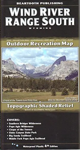
While our “Wind River Range” map covers the whole range and is the best overview of the Winds, this more detailed map covers just from Lander to the Fire Hole Lakes area. The detail shows every little lake, creek, and wetland. For on-the-trail and backcountry travel in the southern Winds this is the map.
SCALE 1:50,000
CONTOUR INTERVAL 50 feet
SIZE UNFOLDED 25.2 x 39.2 inches
SIZE FOLDED 4.2 x 8.0 inches
Explore more from our collection.

![Estado De Baja California Sur [Map] Guia Roji 1](https://carpartsvault.shop/wp-content/uploads/2026/05/51NXwO-_2BFSL._SL1000-rHEoCx.tmp_.webp)

Reviews
There are no reviews yet.