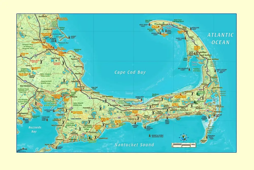
Description
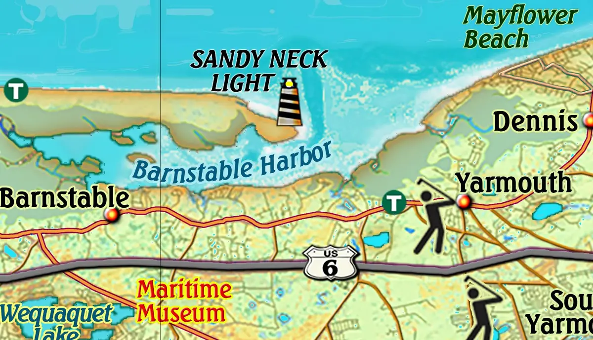
Cape Cod Small Wall Map shows the locations of many points of interest. It has a beautiful shaded depth background which gives it a bird’s-eye-view feel. This map also has lighthouse locations. This Cape Cod Wall Map features Cities, Interstates/Highways, Secondary Roads, Physical Terrain, Latitude/Longitude lines, Points of Interest, State Parks, National Monuments, and National Seashores.
Coverage Area:
- North to include Cape Cod Bay
- South to include Nantucket Sound
- East to include the Atlantic Ocean
- West to include Buzzards Bay
The small gloss laminated wall map is a convenient and useful at-a-glance reference ready for wet erase markers, self-adhesive sticker dots or arrows, or graphic tape.
- 33″×21″ gloss-laminated, one-sided wall map
Explore more from our collection.
![Douglas Ne 7.5', Arizona [Map] United Stated Geological Survey 1](https://carpartsvault.shop/wp-content/uploads/2026/05/410Z8JECelL._SL1000_960643bf-125f-462b-8727-48bf6bdc1077-1K0TR9.tmp_.webp)
![Dos Cabezas, Arizona 7.5' [Map] United Stated Geological Survey 1](https://carpartsvault.shop/wp-content/uploads/2026/05/421-gOAqhA.tmp_.webp)

Reviews
There are no reviews yet.