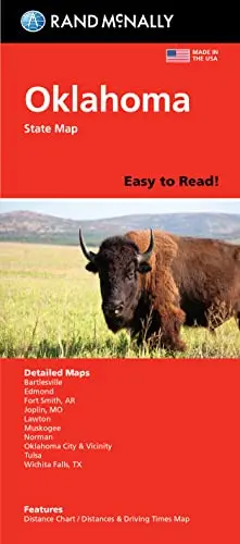
Description
Rand McNally‘s folded map for Oklahoma is a must-have for anyone traveling in or through the state, offering unbeatable accuracy and reliability at a great price. Our trusted cartography shows all Interstate, U.S., state, and county highways and much more.
- Product Details:
- Points of interest.
- State Park chart.
- State mileage chart.
- Driving times map.
- On-the-road toolbox.
- Visitor center information.
- Climate data.
- State facts & symbols.
- Easy-to-use legend.
- Detailed index.
- Coverage Area Detailed Maps Include: Bartlesville, Lawton, Muskogee, Norman, Oklahoma City & Vicinity, Tulsa.
- Measures 4.125″ × 9.0″ and folds out to 36.75″ × 25.5″.
- Regularly updated, full-color maps.
- Clearly labeled Interstate, U.S., state, and county highways.
- Indications of parks, points of interest, airports, county boundaries, schools, shopping malls, downtown & vicinity maps.
- 480642-2022ed
Explore more from our collection.
![Mexico Mapa De Carreteras [Paperback] Varios 1](https://carpartsvault.shop/wp-content/uploads/2026/05/51tf9UzB5fL._SL1000-92Yl7n.tmp_.webp)

![Douglas Ne 7.5', Arizona [Map] United Stated Geological Survey 1](https://carpartsvault.shop/wp-content/uploads/2026/05/410Z8JECelL._SL1000_960643bf-125f-462b-8727-48bf6bdc1077-1K0TR9.tmp_.webp)
Reviews
There are no reviews yet.