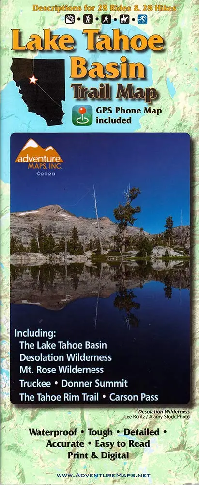
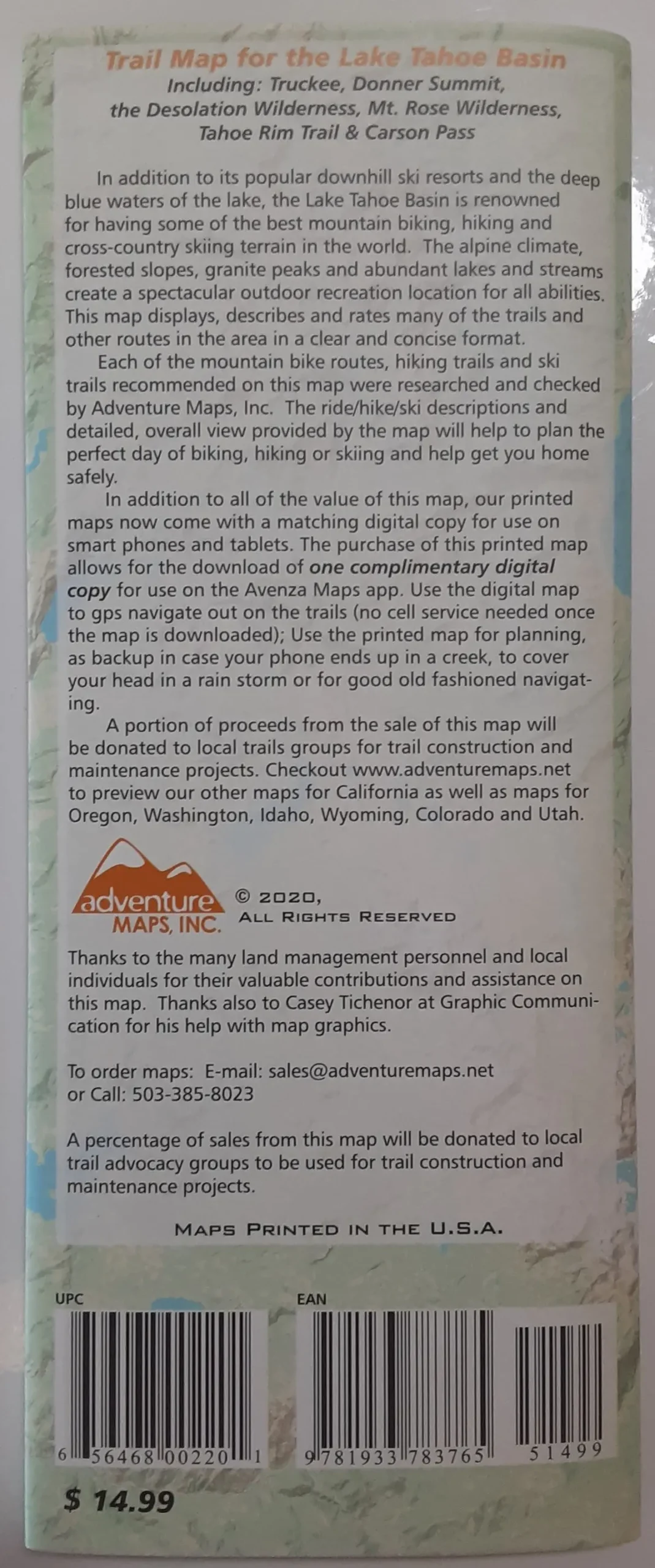
Description
Contains trails and descriptions of 28 rides and hikes, A trail map for the entire Tahoe Basin locate in te Sierra Nevada, California and Nevada States. Printed on both sides of waterproof and tearproof material, Scaled 1:63,360, or 1 inch in the map representing 1 mile distance. Contour intervals, 100 feet apart. The area offers great opportunities for outdoors recreation, such as backpacking, skiing and mountain biking, and this map describes twenty-eight rides and twenty eight hikes. Published 2020.
Areas included: The Lake Tahoe Basin Desolation Wilderness, Mount Rose Wilderness Truckee and Donner Summit The Tahoe Rim Trail and Carson Pass.
- Two-sided, self-cover, plastic folded map
Explore more from our collection.

![Baja Peninsula Infared From Space Satellite Map Gloss Laminated [Map] Spaceshots Inc. 1](https://carpartsvault.shop/wp-content/uploads/2026/05/41DKYrRbd2L._SL1000_804c6dca-6d63-4e78-ba5f-aedfab787fff-h4Bc68.tmp_.webp)
![Estado De Baja California Sur [Map] Guia Roji 1](https://carpartsvault.shop/wp-content/uploads/2026/05/51NXwO-_2BFSL._SL1000-rHEoCx.tmp_.webp)
Reviews
There are no reviews yet.