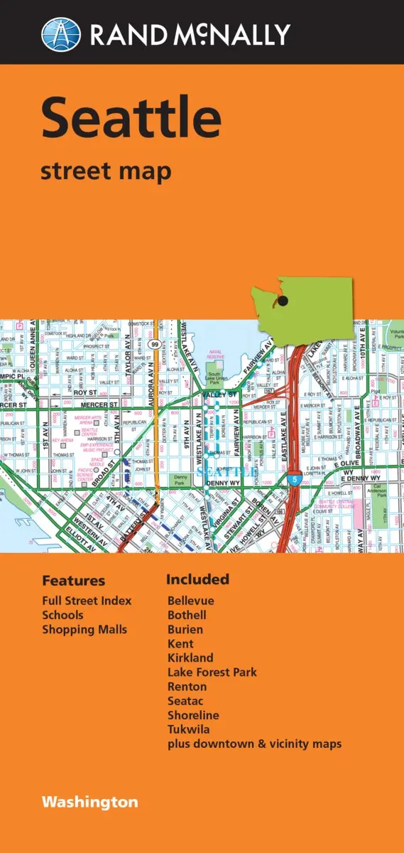
Description
Rand McNally‘s folded map featuring the streets of Seattle is a must-have for anyone traveling in and around this area of Washington, offering unbeatable accuracy and reliability at a great price. Our trusted cartography shows all Interstate, U.S., state, and county highways, along with a full street index, schools, and shopping malls. You’ll see why Rand McNally folded maps have been the trusted standard for years.
- Regularly updated
- Full-color maps
- Clearly labeled Interstate, U.S., state, and county highways
- Indications of parks, points of interest, airports, county boundaries, downtown & vicinity maps
- Easy-to-use legend
- Detailed index
- Convenient folded size
- Coverage Area Communities Included: Bellevue, Bothell, Burien, Kent, Kirkland, Lake Forest Park, Renton, SeaTac, Shoreline, and Tukwila
- Product Details Measures: 4.5″ x 9″ and folds out to 28″ x 40″
- September 4, 2019
Explore more from our collection.
![Dike Tank 7.5' Arizona 1980 [Map] United Stated Geological Survey 1](https://carpartsvault.shop/wp-content/uploads/2026/05/410Z8JECelL._SL1000_ff8cf6a6-59ba-4b88-b5f2-991ca26dc2b6-5zS0Jb.tmp_.webp)
![Mexico Mapa De Carreteras [Paperback] Varios 1](https://carpartsvault.shop/wp-content/uploads/2026/05/51tf9UzB5fL._SL1000-92Yl7n.tmp_.webp)

Reviews
There are no reviews yet.