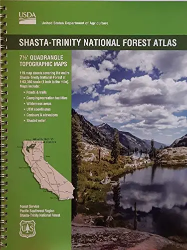
Description
National Forest Atlases are full color atlases, containing 8.5 × 11 inch topographic quadrangle maps at 1 inch to the mile scale and are available for many of the forests in California.
- 7-1/2 Minute Quadrangle Topographic Maps
- 119 Map Sheets covering the entire Shasta-Trinity National Forest
- Map Scale: 1″ = 1 mile (1:63,360)
- Topo Lines – Yes, Contour Interval 100 Feet
- Folded Dimensions: (L” × W” × D”) 11 × 8.5 × 0.25
- Unfolded Dimensions: (L” × W”) 17 × 11
- Spiralbound
Explore more from our collection.


![Estado De Baja California Sur [Map] Guia Roji 1](https://carpartsvault.shop/wp-content/uploads/2026/05/51NXwO-_2BFSL._SL1000-rHEoCx.tmp_.webp)
Reviews
There are no reviews yet.